Search Results

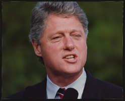
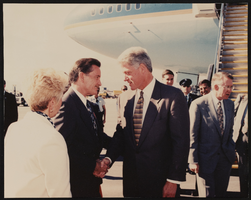
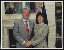
Clinton/Gore rally, Culinary Union, Las Vegas (Nev.), 1990s (folder 1 of 2), image 44
Date
1990 to 1999
Description
Arrangement note: Series I. Demonstrations, Subseries I.B. Other Demonstrations and Strikes
Image
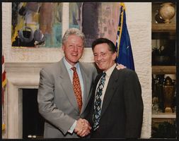
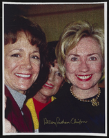
Clinton/Gore rally, Culinary Union, Las Vegas (Nev.), 1990s (folder 1 of 2), image 45
Date
1990 to 1999
Description
Arrangement note: Series I. Demonstrations, Subseries I.B. Other Demonstrations and Strikes
Image
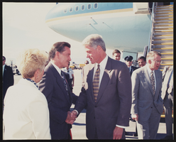
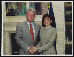
Clinton/Gore rally, Culinary Union, Las Vegas (Nev.), 1990s (folder 1 of 2), image 46
Date
1990 to 1999
Description
Arrangement note: Series I. Demonstrations, Subseries I.B. Other Demonstrations and Strikes
Image
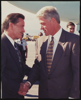
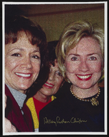
Clinton/Gore rally, Culinary Union, Las Vegas (Nev.), 1990s (folder 1 of 2), image 47
Date
1990 to 1999
Description
Arrangement note: Series I. Demonstrations, Subseries I.B. Other Demonstrations and Strikes
Image
Clinton/Gore rally, Culinary Union, Las Vegas (Nev.), 1990s (folder 1 of 2), image 48
Date
1990 to 1999
Description
Arrangement note: Series I. Demonstrations, Subseries I.B. Other Demonstrations and Strikes
Image
Clinton/Gore rally, Culinary Union, Las Vegas (Nev.), 1990s (folder 1 of 2), image 49
Date
1990 to 1999
Description
Arrangement note: Series I. Demonstrations, Subseries I.B. Other Demonstrations and Strikes
Image
Clinton/Gore rally, Culinary Union, Las Vegas (Nev.), 1990s (folder 1 of 2), image 50
Date
1990 to 1999
Description
Arrangement note: Series I. Demonstrations, Subseries I.B. Other Demonstrations and Strikes
Image
Clinton/Gore rally, Culinary Union, Las Vegas (Nev.), 1990s (folder 1 of 2), image 51
Date
1990 to 1999
Description
Arrangement note: Series I. Demonstrations, Subseries I.B. Other Demonstrations and Strikes
Image
Clinton/Gore rally, Culinary Union, Las Vegas (Nev.), 1990s (folder 1 of 2), image 52
Date
1990 to 1999
Description
Arrangement note: Series I. Demonstrations, Subseries I.B. Other Demonstrations and Strikes
Image
Clinton/Gore rally, Culinary Union, Las Vegas (Nev.), 1990s (folder 1 of 2), image 53
Date
1990 to 1999
Description
Arrangement note: Series I. Demonstrations, Subseries I.B. Other Demonstrations and Strikes
Image