Search Results
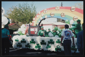
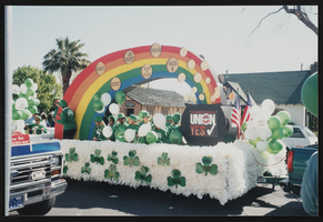
St. Patrick's Day parade, Culinary Union, Las Vegas (Nev.), 1997 March 17 (folder 2 of 3), image 51
Date
1997-03-17
Description
Arrangement note: Series I. Demonstrations, Subseries I.B. Other Demonstrations and Strikes
Image
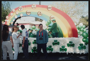
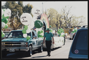
St. Patrick's Day parade, Culinary Union, Las Vegas (Nev.), 1997 March 17 (folder 2 of 3), image 52
Date
1997-03-17
Description
Arrangement note: Series I. Demonstrations, Subseries I.B. Other Demonstrations and Strikes
Image
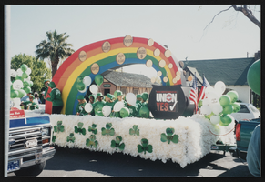
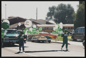
St. Patrick's Day parade, Culinary Union, Las Vegas (Nev.), 1997 March 17 (folder 2 of 3), image 53
Date
1997-03-17
Description
Arrangement note: Series I. Demonstrations, Subseries I.B. Other Demonstrations and Strikes
Image
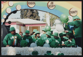
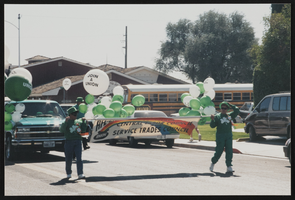
St. Patrick's Day parade, Culinary Union, Las Vegas (Nev.), 1997 March 17 (folder 2 of 3), image 54
Date
1997-03-17
Description
Arrangement note: Series I. Demonstrations, Subseries I.B. Other Demonstrations and Strikes
Image

St. Patrick's Day parade, Culinary Union, Las Vegas (Nev.), 1997 March 17 (folder 2 of 3), image 55
Date
1997-03-17
Description
Arrangement note: Series I. Demonstrations, Subseries I.B. Other Demonstrations and Strikes
Image
St. Patrick's Day parade, Culinary Union, Las Vegas (Nev.), 1997 March 17 (folder 2 of 3), image 56
Date
1997-03-17
Description
Arrangement note: Series I. Demonstrations, Subseries I.B. Other Demonstrations and Strikes
Image

St. Patrick's Day parade, Culinary Union, Las Vegas (Nev.), 1997 March 17 (folder 2 of 3), image 57
Date
1997-03-17
Description
Arrangement note: Series I. Demonstrations, Subseries I.B. Other Demonstrations and Strikes
Image
St. Patrick's Day parade, Culinary Union, Las Vegas (Nev.), 1997 March 17 (folder 2 of 3), image 58
Date
1997-03-17
Description
Arrangement note: Series I. Demonstrations, Subseries I.B. Other Demonstrations and Strikes
Image
St. Patrick's Day parade, Culinary Union, Las Vegas (Nev.), 1997 March 17 (folder 2 of 3), image 59
Date
1997-03-17
Description
Arrangement note: Series I. Demonstrations, Subseries I.B. Other Demonstrations and Strikes
Image
St. Patrick's Day parade, Culinary Union, Las Vegas (Nev.), 1997 March 17 (folder 2 of 3), image 60
Date
1997-03-17
Description
Arrangement note: Series I. Demonstrations, Subseries I.B. Other Demonstrations and Strikes
Image