Search Results
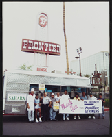
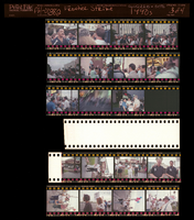
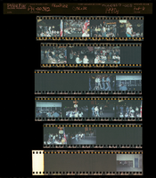
Frontier Strike, E, Culinary Union, Las Vegas (Nev.), 1990s (folder 1 of 1), image 41
Date
1990 to 1999
Description
Arrangement note: Series I. Demonstrations, Subseries I.A. Frontier Strike
Image
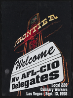
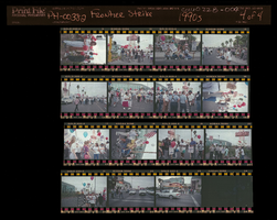
Frontier Strike, E, Culinary Union, Las Vegas (Nev.), 1990s (folder 1 of 1), image 42
Date
1990 to 1999
Description
Arrangement note: Series I. Demonstrations, Subseries I.A. Frontier Strike
Image
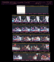
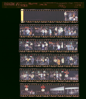
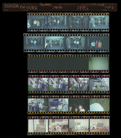
Frontier Strike, F, Culinary Union, Las Vegas (Nev.), 1990s (folder 1 of 1), image 1
Date
1990 to 1999
Description
Arrangement note: Series I. Demonstrations, Subseries I.A. Frontier Strike
Image
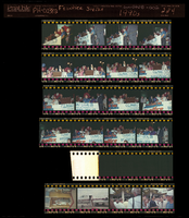
Frontier Strike, F, Culinary Union, Las Vegas (Nev.), 1990s (folder 1 of 1), image 2
Date
1990 to 1999
Description
Arrangement note: Series I. Demonstrations, Subseries I.A. Frontier Strike
Image
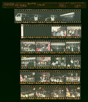
Frontier Strike, F, Culinary Union, Las Vegas (Nev.), 1990s (folder 1 of 1), image 3
Date
1990 to 1999
Description
Arrangement note: Series I. Demonstrations, Subseries I.A. Frontier Strike
Image
Frontier Strike, F, Culinary Union, Las Vegas (Nev.), 1990s (folder 1 of 1), image 4
Date
1990 to 1999
Description
Arrangement note: Series I. Demonstrations, Subseries I.A. Frontier Strike
Image
Frontier Strike, G, Culinary Union, Las Vegas (Nev.), 1990s (folder 1 of 1), image 1
Date
1990 to 1999
Description
Arrangement note: Series I. Demonstrations, Subseries I.A. Frontier Strike
Image
Frontier Strike, G, Culinary Union, Las Vegas (Nev.), 1990s (folder 1 of 1), image 2
Date
1990 to 1999
Description
Arrangement note: Series I. Demonstrations, Subseries I.A. Frontier Strike
Image
Frontier Strike, G, Culinary Union, Las Vegas (Nev.), 1990s (folder 1 of 1), image 3
Date
1990 to 1999
Description
Arrangement note: Series I. Demonstrations, Subseries I.A. Frontier Strike
Image
Frontier Strike, G, Culinary Union, Las Vegas (Nev.), 1990s (folder 1 of 1), image 4
Date
1990 to 1999
Description
Arrangement note: Series I. Demonstrations, Subseries I.A. Frontier Strike
Image