Search Results

Meeting with governor Bob Miller, Culinary Union, Las Vegas (Nev.), 1992 June 26 (folder 1 of 1), image 13
Date
1992-06-26
Description
Arrangement note: Series II. Public Events
Image

Meeting with governor Bob Miller, Culinary Union, Las Vegas (Nev.), 1992 June 26 (folder 1 of 1), image 14
Date
1992-06-26
Description
Arrangement note: Series II. Public Events
Image

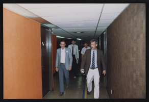
Meeting with governor Bob Miller, Culinary Union, Las Vegas (Nev.), 1992 June 26 (folder 1 of 1), image 15
Date
1992-06-26
Description
Arrangement note: Series II. Public Events
Image

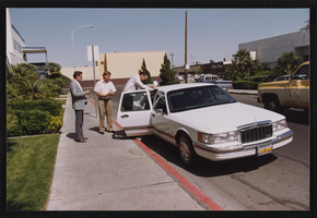
Meeting with governor Bob Miller, Culinary Union, Las Vegas (Nev.), 1992 June 26 (folder 1 of 1), image 16
Date
1992-06-26
Description
Arrangement note: Series II. Public Events
Image

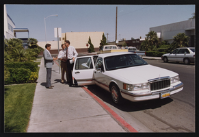
Meeting with governor Bob Miller, Culinary Union, Las Vegas (Nev.), 1992 June 26 (folder 1 of 1), image 17
Date
1992-06-26
Description
Arrangement note: Series II. Public Events
Image

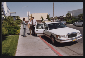
Meeting with governor Bob Miller, Culinary Union, Las Vegas (Nev.), 1992 June 26 (folder 1 of 1), image 18
Date
1992-06-26
Description
Arrangement note: Series II. Public Events
Image
Meeting with governor Bob Miller, Culinary Union, Las Vegas (Nev.), 1992 June 26 (folder 1 of 1), image 19
Date
1992-06-26
Description
Arrangement note: Series II. Public Events
Image
Meeting with governor Bob Miller, Culinary Union, Las Vegas (Nev.), 1992 June 26 (folder 1 of 1), image 20
Date
1992-06-26
Description
Arrangement note: Series II. Public Events
Image
Meeting with governor Bob Miller, Culinary Union, Las Vegas (Nev.), 1992 June 26 (folder 1 of 1), image 21
Date
1992-06-26
Description
Arrangement note: Series II. Public Events
Image
Meeting with governor Bob Miller, Culinary Union, Las Vegas (Nev.), 1992 June 26 (folder 1 of 1), image 22
Date
1992-06-26
Description
Arrangement note: Series II. Public Events
Image