Search the Special Collections and Archives Portal
Search Results
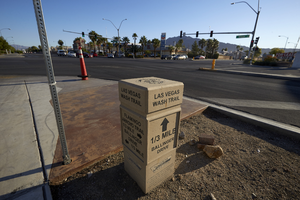
Trail maker at East Sahara Avenue and Sloan Lane, looking northeast, Las Vegas, Nevada: digital photograph
Date
2017-09-28
Archival Collection
Description
A marker giving distance and directions to the Las Vegas Wash Trail and the Flamingo Arroyo Trail sits on the southwest corner of East Sahara Avenue and Sloan Lane.
Image
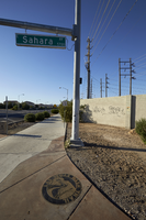
Trail maker at East Sahara Avenue and Sloan Lane, looking south, Las Vegas, Nevada: digital photograph
Date
2017-09-28
Archival Collection
Description
A marker for the Las Vegas Wash Trail is embedded in the sidewalk on the southwest corner of East Sahara Avenue and Sloan Lane.
Image
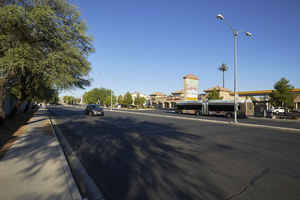
East Sahara Avenue west of Sloan Lane, looking west, Las Vegas, Nevada: digital photograph
Date
2017-09-28
Archival Collection
Description
Light traffic is seen on East Sahara Avenue west of Sloan Lane. This section of Sahara contains a mix of commercial, multi-family and single family housing.
Image
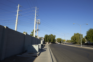
Power lines on East Sahara Avenue west of Sloan Lane, looking west, Las Vegas, Nevada: digital photograph
Date
2017-09-28
Archival Collection
Description
Power lines make their way up East Sahara Avenue west of Sloan Lane on their way to NV Energy's Winterwood Substation.
Image
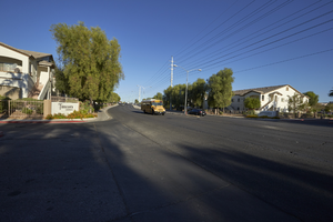
Terrasanta Condominium development on East Sahara Avenue west of Sloan Lane, looking west, Las Vegas, Nevada: digital photograph
Date
2017-09-28
Archival Collection
Description
East Sahara Avenue west of Sloan Lane separates the Terrasanta Condominium development.
Image
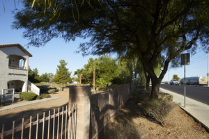
East Sahara Avenue west of Sloan Lane and Terrasanta Condominium development, looking west, Las Vegas, Nevada: digital photograph
Date
2017-09-28
Archival Collection
Description
Traffic uses East Sahara Avenue west of Sloan Lane next to the Terrasanta Condominium development.
Image
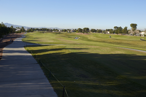
The Club at Sunrise Golf Course, looking south, Las Vegas, Nevada: digital photograph
Date
2017-09-28
Archival Collection
Description
Utilizing land surrounding the Las Vegas and Flamingo Washes, the Club at Sunrise Golf Course provides a break from commercial and housing development where it intersects with East Sahara Avenue west of Sloan Lane.
Image
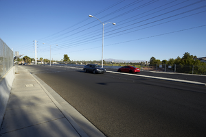
Traffic on East Sahara Avenue west of Sloan Lane, looking northwest, Las Vegas, Nevada: digital photograph
Date
2017-09-28
Archival Collection
Description
Cars travel on East Sahara Avenue west of Sloan Lane as it passes over the Las Vegas Wash at The Club at Sunrise Golf Course.
Image
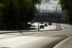
Traffic on East Sahara Avenue near Winterwood Substation, looking east, Las Vegas, Nevada: digital photograph
Date
2017-09-28
Archival Collection
Description
Traffic travels westbound on East Sahara Avenue west of Sloan Lane. Seen in the background is NV Energy's Winterwood Substation.
Image
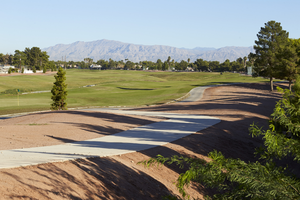
The Club at Sunrise with mountain views, looking north, Las Vegas, Nevada: digital photograph
Date
2017-09-28
Archival Collection
Description
The Las Vegas and Gas mountain ranges can be seen across the valley as The Club at Sunrise Golf Course makes its way away from East Sahara Avenue west of Sloan Lane.
Image
Pagination
Refine my results
Content Type
Creator or Contributor
Subject
Archival Collection
Digital Project
Resource Type
Year
Material Type
Place
Language
Records Classification
