Search Results

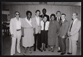
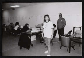
Culinary Union Election: Campaign Photos, Las Vegas (Nev.), 1990 (folder 1 of 1), image 56
Date
1990
Description
Arrangement note: Series III. Internal: Work
Image
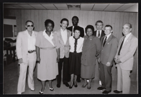
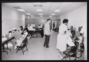
Culinary Union Election: Campaign Photos, Las Vegas (Nev.), 1990 (folder 1 of 1), image 57
Date
1990
Description
Arrangement note: Series III. Internal: Work
Image
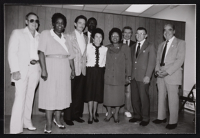
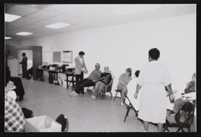
Culinary Union Election: Campaign Photos, Las Vegas (Nev.), 1990 (folder 1 of 1), image 58
Date
1990
Description
Arrangement note: Series III. Internal: Work
Image

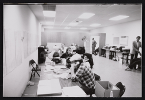
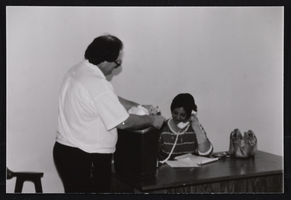
Culinary Union Election: Campaign Photos, Las Vegas (Nev.), 1990 (folder 1 of 1), image 59
Date
1990
Description
Arrangement note: Series III. Internal: Work
Image
Culinary Union Election: Campaign Photos, Las Vegas (Nev.), 1990 (folder 1 of 1), image 60
Date
1990
Description
Arrangement note: Series III. Internal: Work
Image
Culinary Union Election: Campaign Photos, Las Vegas (Nev.), 1990 (folder 1 of 1), image 61
Date
1990
Description
Arrangement note: Series III. Internal: Work
Image
Culinary Union Election: Campaign Photos, Las Vegas (Nev.), 1990 (folder 1 of 1), image 62
Date
1990
Description
Arrangement note: Series III. Internal: Work
Image
Culinary Union Election: Campaign Photos, Las Vegas (Nev.), 1990 (folder 1 of 1), image 63
Date
1990
Description
Arrangement note: Series III. Internal: Work
Image
Culinary Union Election: Campaign Photos, Las Vegas (Nev.), 1990 (folder 1 of 1), image 64
Date
1990
Description
Arrangement note: Series III. Internal: Work
Image
Culinary Union Election: Campaign Photos, Las Vegas (Nev.), 1990 (folder 1 of 1), image 65
Date
1990
Description
Arrangement note: Series III. Internal: Work
Image