Search Results
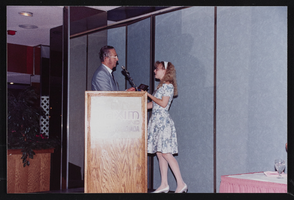
Nevada state AFL-CIO convention, Culinary Union, Las Vegas (Nev.), 1991 (folder 2 of 4), image 9
Date
1991
Description
Arrangement note: Series III. Internal: Work
Image
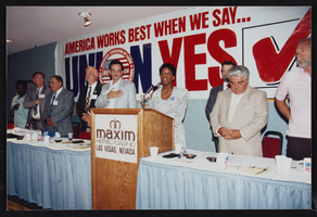
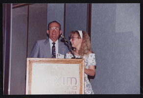
Nevada state AFL-CIO convention, Culinary Union, Las Vegas (Nev.), 1991 (folder 3 of 4), image 1
Date
1991
Description
Arrangement note: Series III. Internal: Work
Image
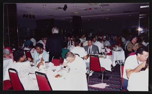
Nevada state AFL-CIO convention, Culinary Union, Las Vegas (Nev.), 1991 (folder 3 of 4), image 2
Date
1991
Description
Arrangement note: Series III. Internal: Work
Image

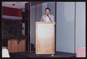
Nevada state AFL-CIO convention, Culinary Union, Las Vegas (Nev.), 1991 (folder 3 of 4), image 3
Date
1991
Description
Arrangement note: Series III. Internal: Work
Image

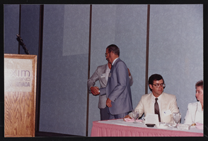
Nevada state AFL-CIO convention, Culinary Union, Las Vegas (Nev.), 1991 (folder 3 of 4), image 4
Date
1991
Description
Arrangement note: Series III. Internal: Work
Image
Nevada state AFL-CIO convention, Culinary Union, Las Vegas (Nev.), 1991 (folder 3 of 4), image 5
Date
1991
Description
Arrangement note: Series III. Internal: Work
Image
Nevada state AFL-CIO convention, Culinary Union, Las Vegas (Nev.), 1991 (folder 3 of 4), image 7
Date
1991
Description
Arrangement note: Series III. Internal: Work
Image

Nevada state AFL-CIO convention, Culinary Union, Las Vegas (Nev.), 1991 (folder 3 of 4), image 8
Date
1991
Description
Arrangement note: Series III. Internal: Work
Image
Nevada state AFL-CIO convention, Culinary Union, Las Vegas (Nev.), 1991 (folder 3 of 4), image 9
Date
1991
Description
Arrangement note: Series III. Internal: Work
Image

Nevada state AFL-CIO convention, Culinary Union, Las Vegas (Nev.), 1991 (folder 4 of 4), image 2
Date
1991
Description
Arrangement note: Series III. Internal: Work
Image