Search Results
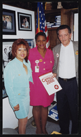
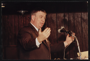
Union meeting, Culinary Union, Las Vegas (Nev.), 1990s (folder 4 of 8), image 4
Date
1990 to 1999
Description
Arrangement note: Series III. Internal: Work
Image

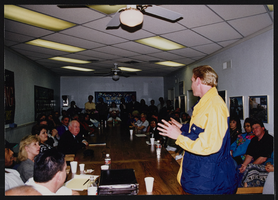
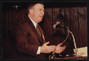
Union meeting, Culinary Union, Las Vegas (Nev.), 1990s (folder 4 of 8), image 5
Date
1990 to 1999
Description
Arrangement note: Series III. Internal: Work
Image

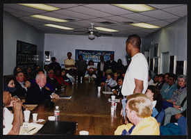
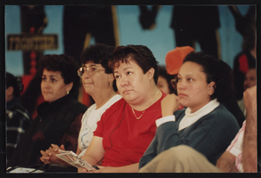
Union meeting, Culinary Union, Las Vegas (Nev.), 1990s (folder 4 of 8), image 6
Date
1990 to 1999
Description
Arrangement note: Series III. Internal: Work
Image
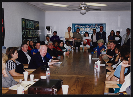
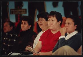
Union meeting, Culinary Union, Las Vegas (Nev.), 1990s (folder 4 of 8), image 7
Date
1990 to 1999
Description
Arrangement note: Series III. Internal: Work
Image
Union meeting, Culinary Union, Las Vegas (Nev.), 1990s (folder 4 of 8), image 8
Date
1990 to 1999
Description
Arrangement note: Series III. Internal: Work
Image
Union meeting, Culinary Union, Las Vegas (Nev.), 1990s (folder 4 of 8), image 9
Date
1990 to 1999
Description
Arrangement note: Series III. Internal: Work
Image
Union meeting, Culinary Union, Las Vegas (Nev.), 1990s (folder 8 of 8), image 40
Date
1990 to 1999
Description
Arrangement note: Series III. Internal: Work
Image
Union meeting, Culinary Union, Las Vegas (Nev.), 1990s (folder 8 of 8), image 41
Date
1990 to 1999
Description
Arrangement note: Series III. Internal: Work
Image
Union meeting, Culinary Union, Las Vegas (Nev.), 1990s (folder 8 of 8), image 42
Date
1990 to 1999
Description
Arrangement note: Series III. Internal: Work
Image
Union meeting, Culinary Union, Las Vegas (Nev.), 1990s (folder 8 of 8), image 43
Date
1990 to 1999
Description
Arrangement note: Series III. Internal: Work
Image