Search Results

Miscellaneous office photos, Culinary Union, Las Vegas (Nev.), 1990s (folder 3 of 5), image 39
Date
1990 to 1999
Description
Arrangement note: Series III. Internal: Work
Image
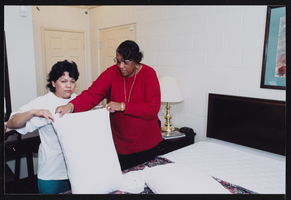
Union workers at the training school, Culinary Union, Las Vegas (Nev.), 1990s (folder 1 of 1), image 94
Date
1990 to 1999
Description
Arrangement note: Series III. Internal: Work
Image
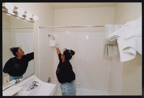
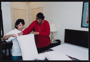
Union workers at the training school, Culinary Union, Las Vegas (Nev.), 1990s (folder 1 of 1), image 96
Date
1990 to 1999
Description
Arrangement note: Series III. Internal: Work
Image
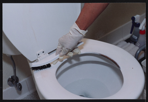
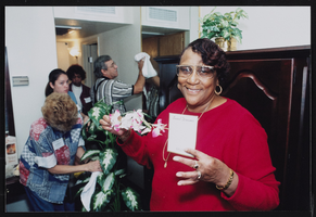
Union workers at the training school, Culinary Union, Las Vegas (Nev.), 1990s (folder 1 of 1), image 97
Date
1990 to 1999
Description
Arrangement note: Series III. Internal: Work
Image
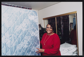
Union workers at the training school, Culinary Union, Las Vegas (Nev.), 1990s (folder 1 of 1), image 98
Date
1990 to 1999
Description
Arrangement note: Series III. Internal: Work
Image
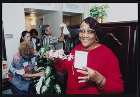
Union workers at the training school, Culinary Union, Las Vegas (Nev.), 1990s (folder 1 of 1), image 99
Date
1990 to 1999
Description
Arrangement note: Series III. Internal: Work
Image

Union workers at the training school, Culinary Union, Las Vegas (Nev.), 1990s (folder 1 of 1), image 100
Date
1990 to 1999
Description
Arrangement note: Series III. Internal: Work
Image
Union workers at the training school, Culinary Union, Las Vegas (Nev.), 1990s (folder 1 of 1), image 101
Date
1990 to 1999
Description
Arrangement note: Series III. Internal: Work
Image
Union workers at the training school, Culinary Union, Las Vegas (Nev.), 1990s (folder 1 of 1), image 103
Date
1990 to 1999
Description
Arrangement note: Series III. Internal: Work
Image

Union workers at the training school, Culinary Union, Las Vegas (Nev.), 1990s (folder 1 of 1), image 104
Date
1990 to 1999
Description
Arrangement note: Series III. Internal: Work
Image