Search Results

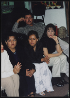
Mexico Trips, Culinary Union, 1990s (folder 1 of 3), image 10
Date
1990 to 1999
Description
Arrangement note: Series III. Internal: Work
Image
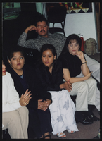
Mexico Trips, Culinary Union, 1990s (folder 1 of 3), image 11
Date
1990 to 1999
Description
Arrangement note: Series III. Internal: Work
Image
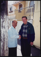
Mexico Trips, Culinary Union, 1990s (folder 1 of 3), image 12
Date
1990 to 1999
Description
Arrangement note: Series III. Internal: Work
Image

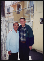
Mexico Trips, Culinary Union, 1990s (folder 1 of 3), image 13
Date
1990 to 1999
Description
Arrangement note: Series III. Internal: Work
Image
Mexico Trips, Culinary Union, 1990s (folder 1 of 3), image 14
Date
1990 to 1999
Description
Arrangement note: Series III. Internal: Work
Image
Mexico Trips, Culinary Union, 1990s (folder 1 of 3), image 15
Date
1990 to 1999
Description
Arrangement note: Series III. Internal: Work
Image
Mexico Trips, Culinary Union, 1990s (folder 1 of 3), image 16
Date
1990 to 1999
Description
Arrangement note: Series III. Internal: Work
Image
Mexico Trips, Culinary Union, 1990s (folder 1 of 3), image 17
Date
1990 to 1999
Description
Arrangement note: Series III. Internal: Work
Image
Mexico Trips, Culinary Union, 1990s (folder 1 of 3), image 18
Date
1990 to 1999
Description
Arrangement note: Series III. Internal: Work
Image
Mexico Trips, Culinary Union, 1990s (folder 1 of 3), image 19
Date
1990 to 1999
Description
Arrangement note: Series III. Internal: Work
Image