Search Results
Traffic at the intersection of Boulder Highway / Fremont Street near East Sahara Avenue looking west, Las Vegas, Nevada: digital photograph
Date
Archival Collection
Description
Image
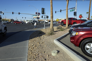
Traffic at the intersection of Boulder Highway / Fremont Street near East Sahara Avenue looking west, Las Vegas, Nevada: digital photograph
Date
Archival Collection
Description
Image
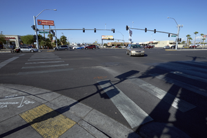
Traffic at the intersection of Boulder Highway / Fremont Street near East Sahara Avenue looking northwest, Las Vegas, Nevada: digital photograph
Date
Archival Collection
Description
Image
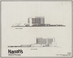
Architectural drawing of Harrah's Resort Atlantic City, north and east elevations, December 10, 1983
Date
Archival Collection
Description
Project overview drawings of Harrah's Marina in Atlantic City from 1983; printed on mylar.
Site Name: Harrah's Marina Resort (Atlantic City)
Address: 777 Harrah's Boulevard, Atlantic City, NJ
Image
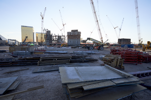
Materials at the Allegiant Stadium construction site, looking east in Las Vegas, Nevada: digital photograph
Date
Archival Collection
Description
Photographed as part of the UNLV Special Collections and Archives' Building Las Vegas collecting initiative started in 2016. This photo series documents ongoing construction work at the Allegiant Stadium.
Image
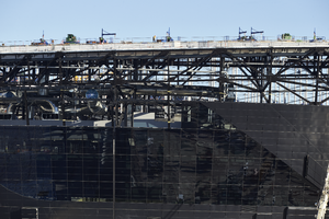
Allegiant Stadium under construction, looking east-northeast in Las Vegas, Nevada: digital photograph
Date
Archival Collection
Description
Photographed as part of the UNLV Special Collections and Archives' Building Las Vegas collecting initiative started in 2016. This photo is part of a series documenting ongoing construction work at Allegiant Stadium.
Image
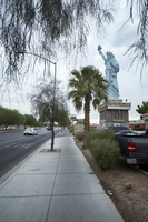
Sidewalk and Statue of Liberty replica on West Sahara Avenue east of South Arville Street, Las Vegas, Nevada: digital photograph
Date
Archival Collection
Description
Image
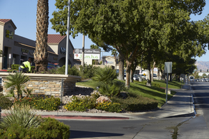
Commercial property landscaping on West Sahara Avenue east of Fort Apache Road, looking southwest, Las Vegas, Nevada: digital photograph
Date
Archival Collection
Description
Image
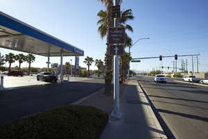
Chevron gas station on northeast corner of Sloan Lane and East Sahara Avenue, looking south, Las Vegas, Nevada: digital photograph
Date
Archival Collection
Description
Image
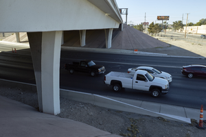
Traffic flows under the freeway overpass at East Sahara Avenue and Sandhill Road looking south, Las Vegas, Nevada: digital photograph
Date
Archival Collection
Description
Image