Search Results
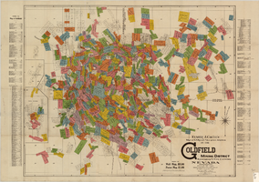
Map of U.S. patent and location surveys in the Goldfield Mining District, Esmeralda and Nye Counties, Nevada, 1907
Date
Description
Text

Racoon at the Clark County Wetlands Park, Clark County, Nevada: digital photograph
Date
Archival Collection
Description
Image
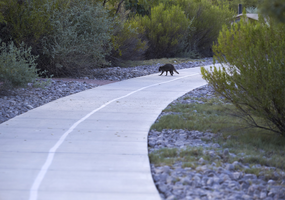
Racoon at the Clark County Wetlands Park, Clark County, Nevada: digital photograph
Date
Archival Collection
Description
Image
Washoe County
Level of Description
Archival Collection
Collection Name: Thomas Clark Professional Papers
Box/Folder: Box 59, Box 60
Archival Component
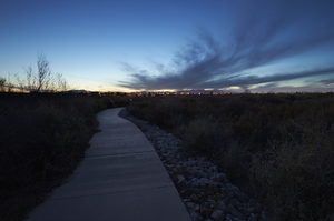
Clark County Wetlands Park, Clark County, Nevada: digital photograph
Date
Archival Collection
Description
Image
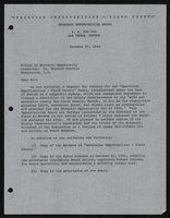
Operation Opportunities Clark County: documents
Date
Archival Collection
Description
From the Clark County Economic Opportunity Board Records -- Series I. Administrative. This folder contains documents relating to "Operation Opportunies -- Clark County" during 1964.
Text
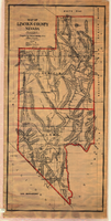
Map of Lincoln County, Nevada, 1908
Date
Description
'Map of Lincoln County, Nevada. Compiled by H.E. Freudenthal from official surveys. Copyright, 1908, by H.E. Freudenthal.' Relief shown by hachures and spot heights. Shows range and township grid. Shows towns, railroads, proposed railroads, wagon roads and springs. Scale [ca. 1:380,160]. 1 in. to approx. 6 miles (W 116°--W 114°/N 39°--N 35°).
Image

Map showing proposed annexation of Las Vegas Valley, Clark County, Nevada, January 1, 1929
Date
Description
Image
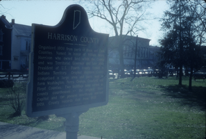
Slide of the Harrison County Historical Marker, Harrison County, Indiana, circa 1960s-1970s
Date
Archival Collection
Description
Image
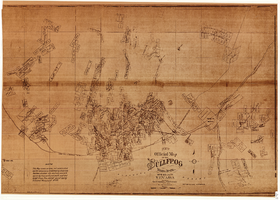
Map of the Bullfrog Mining District, Nye County, Nevada, circa 1905
Date
Description
Image