Search Results

Las Vegas Valley map, Clark County, Nevada, June 1958
Date
1958
Description
'Compiled 1954. First revision - June 1958.' 'Area extends 9 miles north, 11 miles south, and 3 miles east, 3 miles west city limits of Las Vegas.' Original publisher: Campbell Realty. Scale [ca. 1:60,000. 1 in. to approx. 5,000 ft.]. Cadastral map. Hand-drawn red line around some sections on map.
Image
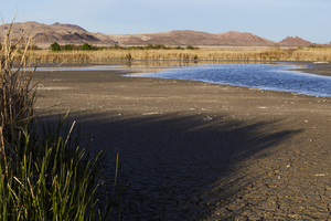
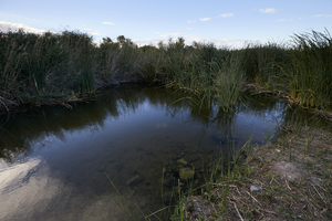
Clark County Wetlands Park, Clark County, Nevada: digital photograph
Date
2016-03-12
Archival Collection
Description
Water at the Clark County Wetlands Park rises and falls in settling ponds.
Image
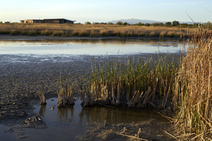
Clark County Wetlands Park, Clark County, Nevada: digital photograph
Date
2016-03-12
Archival Collection
Description
Vegetation flourishes along settling ponds at the Clark County Wetlands Park.
Image
Clark County Wetlands Park, Clark County, Nevada: digital photograph
Date
2016-03-12
Archival Collection
Description
Vegetation flourishes along settling ponds at the Clark County Wetlands Park.
Image
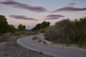
Clark County Wetlands Park, Clark County, Nevada: digital photograph
Date
2016-07-09
Archival Collection
Description
Dusk falls over a pathway through the Clark County Wetlands Park.
Image
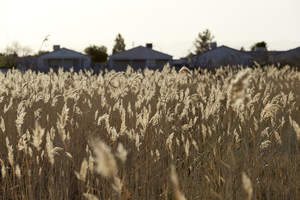
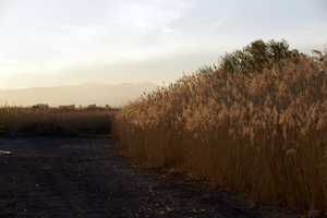
Clark County Wetlands Park, Clark County, Nevada: digital photograph
Date
2016-03-12
Archival Collection
Description
Fields at the Clark County Wetlands Park flourish near development along the park.
Image
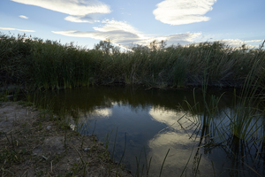
Clark County Wetlands Park, Clark County, Nevada: digital photograph
Date
2016-07-09
Archival Collection
Description
Late afternoon clouds provide a dramatic view at the Clark County Wetlands Park.
Image
Clark County Wetlands Park, Clark County, Nevada: digital photograph
Date
2016-07-09
Archival Collection
Description
Late afternoon clouds provide a dramatic view at the Clark County Wetlands Park.
Image
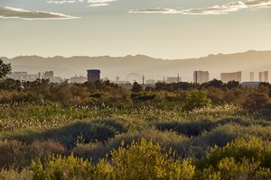
Clark County Wetlands Park, Clark County, Nevada: digital photograph
Date
2016-07-09
Archival Collection
Description
The Las Vegas Strip can be seen from the Clark County Wetlands Park.
Image