Search the Special Collections and Archives Portal
Search Results
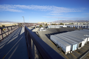
Looking northwest, a commercial truck yard can be seen from the pedestrian bridge on the Las Vegas Wash Regional Trail in North Las Vegas, Nevada: digital photograph
Date
Archival Collection
Description
From the UNLV University Libraries Photographs of the Development of the Las Vegas Valley, Nevada (PH-00394). Part of the collection documents the entire 19 mile length of the north/south Eastern Avenue / Civic Center Drive alignment. This photograph was captured in the section of Civic Center Drive between Alexander Road and Cheyenne Avenue.
Image
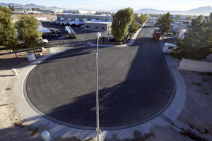
Looking east-northeast from a pedestrian bridge, a cul-de-sac at East Gowan Road is seen in an industrial area of North Las Vegas, Nevada: digital photograph
Date
Archival Collection
Description
From the UNLV University Libraries Photographs of the Development of the Las Vegas Valley, Nevada (PH-00394). Part of the collection documents the entire 19 mile length of the north/south Eastern Avenue / Civic Center Drive alignment. This photograph was captured in the section of Civic Center Drive between Alexander Road and Cheyenne Avenue.
Image
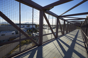
Looking east through the safety screen of a Las Vegas Wash Regional Trail bridge near Civic Center Drive in North Las Vegas, Nevada: digital photograph
Date
Archival Collection
Description
From the UNLV University Libraries Photographs of the Development of the Las Vegas Valley, Nevada (PH-00394). Part of the collection documents the entire 19 mile length of the north/south Eastern Avenue / Civic Center Drive alignment. This photograph was captured in the section of Civic Center Drive between Alexander Road and Cheyenne Avenue.
Image
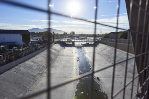
Looking east through the safety screen of a Las Vegas Wash Regional Trail bridge near Civic Center Drive in North Las Vegas, Nevada: digital photograph
Date
Archival Collection
Description
From the UNLV University Libraries Photographs of the Development of the Las Vegas Valley, Nevada (PH-00394). Part of the collection documents the entire 19 mile length of the north/south Eastern Avenue / Civic Center Drive alignment. This photograph was captured in the section of Civic Center Drive between Alexander Road and Cheyenne Avenue.
Image
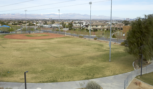
Cactus Wren Park as seen from the Amargosa Pedestrian Bridge on St. Rose Parkway, east of Eastern Avenue, looking west-northwest in Henderson, Nevada: digital photograph
Date
Archival Collection
Description
From the UNLV University Libraries Photographs of the Development of the Las Vegas Valley, Nevada (PH-00394). Part of the collection documents the entire 19 mile length of the north/south Eastern Avenue / Civic Center Drive alignment. This photograph was captured in the section of Eastern Avenue between Silverado Ranch Boulevard and Coronado Center Drive.
Image
Bridge across the Colorado river to gravel pit, Nevada to Arizona side, approximately ten miles up from the dam: photographic print, negative, and slide , approximately 1930 to 1932
Level of Description
Archival Collection
Collection Name: Ray Cutright Collection of Winthrop A. Davis Photographs
Box/Folder: Folder 03, Box SH-022, Binder PB-003
Archival Component
