Search the Special Collections and Archives Portal
Search Results
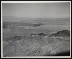
Photograph of an aerial view of Lake Mead, circa 1934-1950s
Date
1934 to 1959
Archival Collection
Description
An image showing an aerial view of Lake Mead amidst its home of rocky terrain. Varying rocky roads can be seen etched into the reservoir's shore.
Image
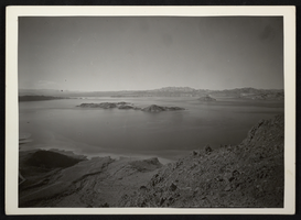
Photograph of an aerial view of Lake Mead, circa 1934-1950s
Date
1934 to 1959
Archival Collection
Description
An image showing an aerial view of Lake Mead amidst its home of rocky terrain. Varying rocky roads can be seen etched into the reservoir's shore.
Image
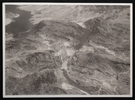
Aerial photograph of downstream face of Hoover Dam, circa 1933-1935
Date
1933 to 1935
Archival Collection
Description
Aerial view of the nearly completed Hoover Dam in Black Canyon prior to the release of water.
Image
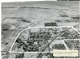
Aerial photograph of North Las Vegas, Nevada, June 5, 1973
Date
1973-06-05
Archival Collection
Description
Aerial view of North Las Vegas, Nevada, with boundaries of "model neighborhood" marked in white. Handwritten on back of photograph: "Corner of Main St. and Las Vegas Blvd. North (No. 5th St.). Model neighborhood includes most of original NLV Williams additions." Label at lower right of photo:"Aerial view of Model Neighborhood with boundaries indicated."
Image
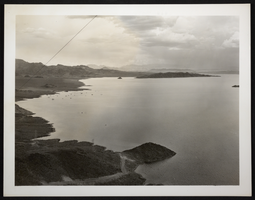
Photograph of an aerial view of Lake Mead, circa 1934-1950s
Date
1934 to 1959
Archival Collection
Description
An image showing an aerial view of Lake Mead amidst its home of rocky terrain. Boats can be seen dotting the reservoir's surface.
Image
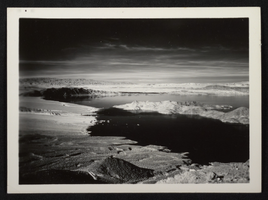
Photograph of an aerial view of Lake Mead, circa 1934-1950s
Date
1934 to 1959
Archival Collection
Description
An image showing an aerial view of Lake Mead amidst its home of rocky terrain. Boats can be seen dotting the reservoir's surface.
Image
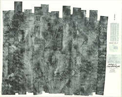
Index to aerial photographs of Caliente, Nevada: photographic print
Date
1952 to 1954
Archival Collection
Description
From the Army Mapping Service Aerial Photographs of Southern and Western Nevada (PH-00285). Aerial photographs, composites, and indices. Geological Survey, Army Map Service.
Image
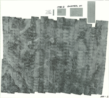
Index to aerial photographs of Goldfield, Nevada: photographic print
Date
1952
Archival Collection
Description
From the Army Mapping Service Aerial Photographs of Southern and Western Nevada (PH-00285). Aerial photographs, composites, and indices. Geological Survey, Army Map Service.
Image
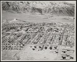
Aerial view of Boulder City (Nev.), January 14, 1946
Date
1946-01-14
Archival Collection
Description
An aerial view of Boulder City, Nevada looking North. The photograph was taken by W.M.S. Russell on January 14, 1946.
Image
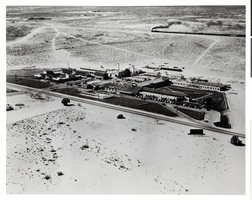
Aerial photograph of the Hotel Last Frontier, 1940s
Date
1940 to 1949
Archival Collection
Description
Aerial view of the Hotel Last Frontier with a Union Pacific train in the background
Site Name: Frontier
Address: 3120 Las Vegas Boulevard South
Image
Pagination
Refine my results
Content Type
Creator or Contributor
Subject
Archival Collection
Digital Project
Resource Type
Year
Material Type
Place
Language
Records Classification
