Search Results
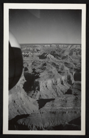
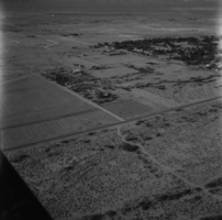
Aerial photograph of part of the Grand Canyon, circa 1930s-1940s
Date
1930 to 1949
Archival Collection
Description
An image showing an aerial view of part of the Grand Canyon.
Image
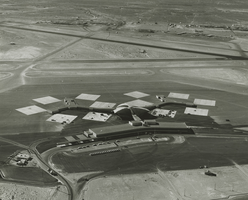
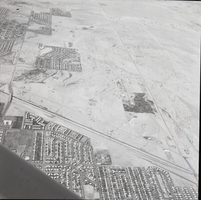
Aerial photograph of McCarran Airport, Las Vegas, Nevada, 1963
Date
1963
Archival Collection
Description
Aerial photograph of McCarran Airport and surrounding desert, Las Vegas, Nevada.
Image
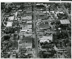
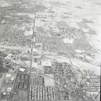
Aerial photograph of downtown Las Vegas, circa 1930s-1940s
Date
1930 to 1949
Archival Collection
Description
Aerial view, downtown. The center vertical street is Fremont Street and at the top of the page is Main Street.
Image
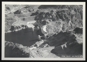
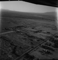
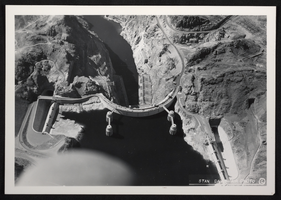
Aerial photograph of Hoover Dam, circa mid 1930s
Date
1935 to 1936
Archival Collection
Description
An image showing an aerial view of Hoover Dam. Note: Boulder Dam was officially renamed Hoover Dam in 1947.
Image
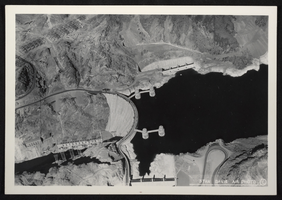
Aerial photograph of Hoover Dam, circa mid 1930s
Date
1935 to 1936
Archival Collection
Description
An image showing an aerial view of Hoover Dam. Note: Boulder Dam was officially renamed Hoover Dam in 1947.
Image
Aerial photograph of Hoover Dam, circa mid 1930s
Date
1935 to 1936
Archival Collection
Description
An image showing an aerial view of Hoover Dam. Note: Boulder Dam was officially renamed Hoover Dam in 1947.
Image