Search the Special Collections and Archives Portal
Search Results
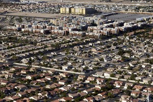
Single and multi-family housing, Enterprise, Nevada: digital photograph
Date
2016-03-23
Archival Collection
Description
An aerial view of single and multi-family housing along with commercial development in the Enterprise Township near Gilespie Street and East Pebble Road. Las Vegas Boulevard and I-15 are pictured in the top part of the frame.
Image
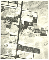
Slide of the University of Nevada, Las Vegas, circa 1967-1968
Date
1967 to 1968
Archival Collection
Description
An aerial view of the University of Nevada, Las Vegas (UNLV).
Image
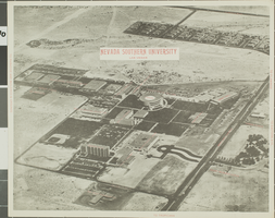
Slide of University of Nevada, Las Vegas, circa 1969
Date
1969
Archival Collection
Description
An aerial view of the University of Nevada, Las Vegas (UNLV).
Image
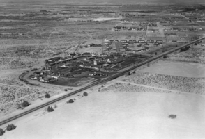
Film transparency of El Rancho Vegas, Las Vegas, circa 1941-1960
Date
1941 to 1960
Archival Collection
Description
Aerial photograph of the El Rancho Vegas looking northwest.
Image
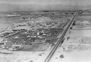
Film transparency of El Rancho Vegas, Las Vegas, circa 1941-1960
Date
1941 to 1960
Archival Collection
Description
Aerial photograph of the El Rancho Vegas looking north.
Image
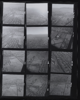
Golf Course, Las Vegas Strip and Convention Center, Las Vegas, NV: contact sheet
Date
1965
Archival Collection
Description
From the Las Vegas (Nev.) Aerial Contact Sheets Photograph Collection (PH-00374)
Image
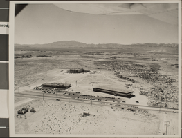
Slide of the University of Nevada, Las Vegas, circa 1959
Date
1958 to 1960
Archival Collection
Description
An aerial view of the University of Nevada, Las Vegas.
Image
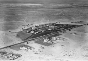
Film transparency of the Last Frontier Hotel, Las Vegas, circa 1945
Date
1945
Archival Collection
Description
Aerial photograph of the Last Frontier Hotel and Casino.
Image
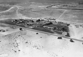
Film transparency of the Last Frontier Hotel, Las Vegas, circa 1945
Date
1945
Archival Collection
Description
Aerial view of the Last Frontier Hotel and Casino.
Image
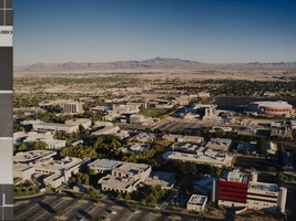
Photograph of University of Nevada, Las Vegas campus, July 10, 1997
Date
1997-07-10
Archival Collection
Description
An aerial view of the UNLV campus looking southeast.
Image
Pagination
Refine my results
Content Type
Creator or Contributor
Subject
Archival Collection
Digital Project
Resource Type
Year
Material Type
Place
Language
Records Classification
