Search the Special Collections and Archives Portal
Search Results
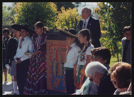
Mexico Trips, Culinary Union, 1990s (folder 2 of 3), image 66
Date
1990 to 1999
Description
Arrangement note: Series III. Internal: Work
Image
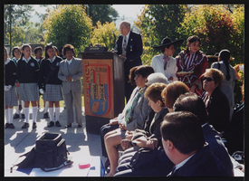
Mexico Trips, Culinary Union, 1990s (folder 2 of 3), image 67
Date
1990 to 1999
Description
Arrangement note: Series III. Internal: Work
Image
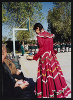
Mexico Trips, Culinary Union, 1990s (folder 2 of 3), image 68
Date
1990 to 1999
Description
Arrangement note: Series III. Internal: Work
Image
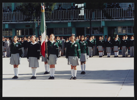
Mexico Trips, Culinary Union, 1990s (folder 2 of 3), image 69
Date
1990 to 1999
Description
Arrangement note: Series III. Internal: Work
Image

Mexico Trips, Culinary Union, 1990s (folder 2 of 3), image 70
Date
1990 to 1999
Description
Arrangement note: Series III. Internal: Work
Image
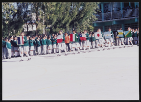
Mexico Trips, Culinary Union, 1990s (folder 2 of 3), image 71
Date
1990 to 1999
Description
Arrangement note: Series III. Internal: Work
Image

Mexico Trips, Culinary Union, 1990s (folder 2 of 3), image 72
Date
1990 to 1999
Description
Arrangement note: Series III. Internal: Work
Image
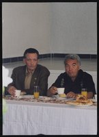
Mexico Trips, Culinary Union, 1990s (folder 2 of 3), image 73
Date
1990 to 1999
Description
Arrangement note: Series III. Internal: Work
Image
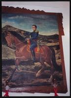
Mexico Trips, Culinary Union, 1990s (folder 2 of 3), image 74
Date
1990 to 1999
Description
Arrangement note: Series III. Internal: Work
Image
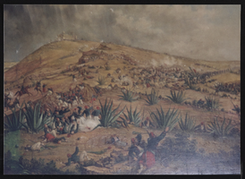
Mexico Trips, Culinary Union, 1990s (folder 2 of 3), image 75
Date
1990 to 1999
Description
Arrangement note: Series III. Internal: Work
Image
Pagination
Refine my results
Content Type
Creator or Contributor
Subject
Archival Collection
Digital Project
Resource Type
Year
Material Type
Place
Language
Records Classification
