Search Results
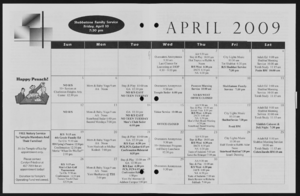
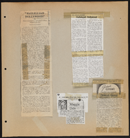
Alpha Kappa Alpha Sorority, Theta Theta Omega Chapter calendar
Date
Archival Collection
Description
From the Alpha Kappa Alpha Sorority, Incorporated, Theta Theta Omega Chapter Records (MS-01014) -- Chapter records file.
Text
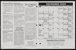
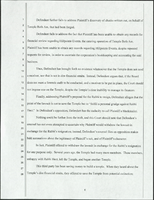
Alpha Kappa Alpha Sorority, Theta Theta Omega Chapter program committee minutes
Date
Archival Collection
Description
From the Alpha Kappa Alpha Sorority, Incorporated, Theta Theta Omega Chapter Records (MS-01014) -- Chapter records file.
Text

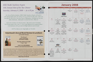
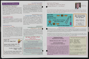
Nevada Federation of Women's Clubs Records
Identifier
Abstract
The Nevada Federation of Women's Clubs (NFWC) Records date from 1907 until 1999 and document the administration, activities, and publications of the NFWC. During the twentieth century, the NFWC included member clubs from throughout the state of Nevada including the Mesquite Club in Las Vegas, the Reno Women's Civic Club, and the Lamoille Women's Club. The collection includes meeting minutes and agendas, correspondence, publications, reports, and newspaper clippings.
Archival Collection