Search the Special Collections and Archives Portal
Search Results
T-Shirt Color: Navy Blue; Front: Newton Steamers 801 "We Are # 1", Dept. Emblem; Back: E-801 # 1 For Over 125 Years, approximately 2001-2012
Level of Description
Archival Collection
Collection Name: New York-New York Hotel and Casino 9-11 Heroes Tribute Collection
Box/Folder: Box 209
Archival Component
T-Shirt Color: Gray; Front: Grande Prairie Firefighters Assoc., IAFF Local 2770, Twenty Years, Canadian Maple Leaf, approximately 2001-2012
Level of Description
Archival Collection
Collection Name: New York-New York Hotel and Casino 9-11 Heroes Tribute Collection
Box/Folder: Box 342
Archival Component
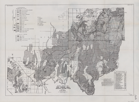
General geologic map of the Corners area, Arizona-Nevada-Utah, April 15, 1952
Date
Archival Collection
Description
Image
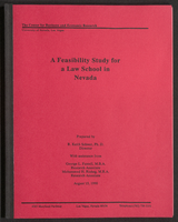
A Feasibility Study for a Law School in Nevada (bound)
Date
Archival Collection
Description
A bound version of "A Feasibility Study for a Law School in Nevada" prepared by R. Keith Schwer, Ph. D., Director, with assistance from George L. Fussell, M.B.A., Research Associate, and Mohammed H. Risheg, M.B.A., Research Associate, The Center for Business and Economic Research, University of Nevada, Las Vegas. From the University of Nevada, Las Vegas William S. Boyd School of Law Records (UA-00048).
Text
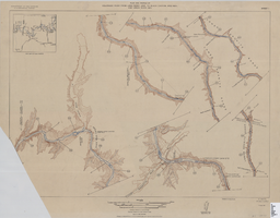
Map of plan and profile of Colorado River from Lees Ferry, Arizona to Black Canyon, Arizona-Nevada and Virgin River, Nevada, 1924
Date
Archival Collection
Description
Image
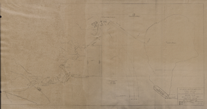
Map of general plan for the Wells Siding Project in Logandale, Nevada, May 15, 1935
Date
Archival Collection
Description
Image
Nevada Secretary of State Records
Identifier
Abstract
The Nevada Secretary of State Records contain biennial reports for the years 1877-1892, 1897-1904, 1909-1910, 1919-1920,1940-1942, and 1947-1974. Material includes notary appointments and official records of the acts of the Nevada Legislature.
Archival Collection
Freeze, G. 2001. "EIS Post-10,000 Year FEP's," Electronic correspondence log from G. Freeze to D. Lester (Jason Technologies), with attachments, 2001 September 10
Level of Description
Archival Collection
Collection Name: Environmental Radiation Protection Standards for Yucca Mountain, Nevada
Box/Folder: Box 38
Archival Component
