Search the Special Collections and Archives Portal
Search Results
Kapusnak, Thomas Alan, "The accuracy of the Denver II Screening Test for children under two years of age", 1995 Spring
Level of Description
Item
Archival Collection
University of Nevada, Las Vegas Theses, Dissertations, and Honors Papers
To request this item in person:
Collection Number: UA-00082
Collection Name: University of Nevada, Las Vegas Theses, Dissertations, and Honors Papers
Box/Folder: Box 114
Collection Name: University of Nevada, Las Vegas Theses, Dissertations, and Honors Papers
Box/Folder: Box 114
Archival Component
Dascalos, Mark A., "Impact of the American's With Disabilities Act On Local Government (A Retrospective Review of 10 Years Of Action)", 2000 Fall
Level of Description
Item
Archival Collection
University of Nevada, Las Vegas Theses, Dissertations, and Honors Papers
To request this item in person:
Collection Number: UA-00082
Collection Name: University of Nevada, Las Vegas Theses, Dissertations, and Honors Papers
Box/Folder: Box 353
Collection Name: University of Nevada, Las Vegas Theses, Dissertations, and Honors Papers
Box/Folder: Box 353
Archival Component
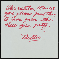
New Years Eve party, Culinary Union, Las Vegas (Nev.), 1989 December, (folder 1of 1), image 1
Date
1989-12
Description
Arrangement note: Series IV. Internal: Social
Image
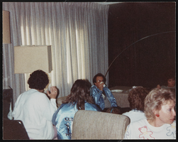
New Years Eve party, Culinary Union, Las Vegas (Nev.), 1989 December, (folder 1of 1), image 2
Date
1989-12
Description
Arrangement note: Series IV. Internal: Social
Image

New Years Eve party, Culinary Union, Las Vegas (Nev.), 1989 December, (folder 1of 1), image 3
Date
1989-12
Description
Arrangement note: Series IV. Internal: Social
Image
New Years Eve party, Culinary Union, Las Vegas (Nev.), 1989 December, (folder 1of 1), image 4
Date
1989-12
Description
Arrangement note: Series IV. Internal: Social
Image
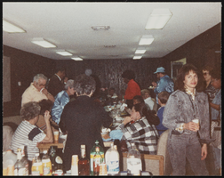
New Years Eve party, Culinary Union, Las Vegas (Nev.), 1989 December, (folder 1of 1), image 5
Date
1989-12
Description
Arrangement note: Series IV. Internal: Social
Image
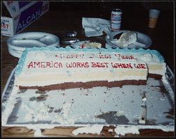
New Years Eve party, Culinary Union, Las Vegas (Nev.), 1989 December, (folder 1of 1), image 6
Date
1989-12
Description
Arrangement note: Series IV. Internal: Social
Image
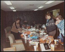
New Years Eve party, Culinary Union, Las Vegas (Nev.), 1989 December, (folder 1of 1), image 7
Date
1989-12
Description
Arrangement note: Series IV. Internal: Social
Image
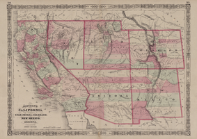
Map of California, with territories of Utah, Nevada, Colorado, New Mexico, and Arizona, 1864
Date
1864
Description
40 x 62 cm. Relief shown by hachures. Prime meridians: Greenwich and Washington. Page numbers at top: 58-59. "Entered according to act of Congress in the year 1864 by A. J. Johnson in the Clerk's Office of the District Court of the United States for the Southern District of New York." Original publisher: Johnson and Ward.
Image
Pagination
Refine my results
Content Type
Creator or Contributor
Subject
Archival Collection
Digital Project
Resource Type
Year
Material Type
Place
Language
Records Classification
