Search Results

Map of Las Vegas Valley artesian basin, circa 1940
Date
Description
Image
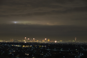
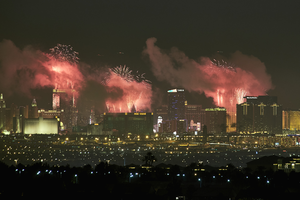
Fireworks over the Las Vegas Strip, Las Vegas, Nevada: digital photograph
Date
Archival Collection
Description
Image
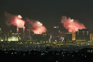
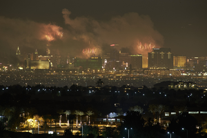
Fireworks over the Las Vegas Strip, Las Vegas, Nevada: digital photograph
Date
Archival Collection
Description
Image
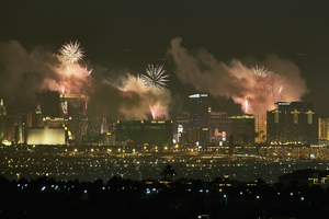
Fireworks over the Las Vegas Strip, Las Vegas, Nevada: digital photograph
Date
Archival Collection
Description
Image
Fireworks over the Las Vegas Strip, Las Vegas, Nevada: digital photograph
Date
Archival Collection
Description
Image
Fireworks over the Las Vegas Strip, Las Vegas, Nevada: digital photograph
Date
Archival Collection
Description
Image
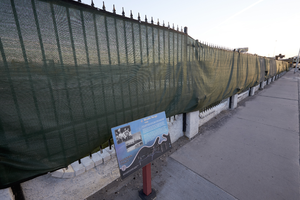
Moulin Rouge site, Las Vegas, Nevada: digital photograph
Date
Archival Collection
Description
Image
Nevada files, 1964 to 2021
Level of Description
Scope and Contents
The Nevada files (1964-2021) sub-series contains research files, reprints, negatives, and surveys from various locations throughout Nevada. Moapa Valley, Overton, the Muddy River, Lake Mohave, Ash Meadows, the Nevada Test Site, the Great Basin region, and regional Northern and Southern Nevada comprise the majority of the files.
Archival Collection
Collection Name: Elizabeth von Till and Claude N. Warren Professional Papers
Box/Folder: N/A
Archival Component
Tonopah, Nevada Mining Town Photograph Album
Identifier
Abstract
The Tonopah, Nevada Mining Town Photograph Album (approximately 1908) consists of twenty-two photographs in a leather-bound album. The photographs depict businesses, townspeople, street scenes, and mining operations in Tonopah, Nevada and the surrounding areas of Goldfield, Nevada and Mina, Nevada. Also included are photographs of a fire on May 12, 1908 that destroyed a block of commercial buildings in Tonopah, which were taken by local photographer E. W. Smith., and views of the downtown area both before and after the fire.
Archival Collection