Search the Special Collections and Archives Portal
Search Results
Horses at the Las Vegas Ranch, Las Vegas, approximately 1900-1910
Level of Description
Archival Collection
Collection Name: Helen J. Stewart Photographs
Box/Folder: Oversized Box SH-060
Archival Component
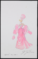
Untitled pink 1900s gown: original costume design drawing
Date
Archival Collection
Description
Series II. Folies-Bergere production papers, designs, and photographs -- 17th Edition: The Best of the Folies-Bergere -- 2001 costume revisions: costume design drawings, photographs of costume pieces, correspondence, and notes -- Ballroom
Mixed Content
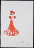
Untitled red 1900s gown: original costume design drawing
Date
Archival Collection
Description
Series II. Folies-Bergere production papers, designs, and photographs -- 17th Edition: The Best of the Folies-Bergere -- 2001 costume revisions: costume design drawings, photographs of costume pieces, correspondence, and notes -- Ballroom
Mixed Content
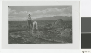
Photograph of a man standing next to an artesian well, circa early 1900's
Date
Archival Collection
Description
Man standing next to an artesian well with the Sheep Mountains in the background. Top right corner of photo had been torn off; photo restored by Annie Sattler.
Image
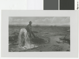
Photograph of a man sitting near an artesian well, circa early 1900's
Date
Archival Collection
Description
Man sitting next to an artesian well
Transcribed Notes: Transcribed from photo sleeve: "Man sitting near artesian well, probably Old Ranch"
Image
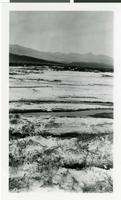
Photograph of the Devil's Golf Course, Death Valley, California, circa 1900s
Date
Archival Collection
Description
Image
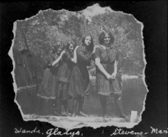
Film transparency of young women in Las Vegas, circa early 1900s
Date
Archival Collection
Description
Image

Film transparency of Wilson's Ranch, Las Vegas, circa early 1900s
Date
Archival Collection
Description
Image
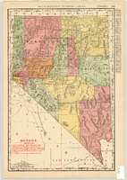
Map showing railroads in Nevada, 1904
Date
Description
Text
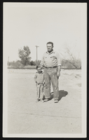
Photograph of Harold Stocker and nephew, Overton (Nev.), approximately 1900-1950
Date
Archival Collection
Description
Image
