Search the Special Collections and Archives Portal
Search Results
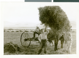
Photograph of Corn Creek Ranch, Nevada, circa 1938
Date
Archival Collection
Description
Image
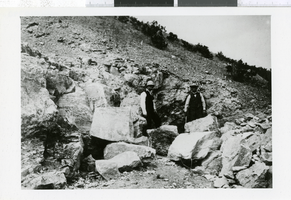
Photograph of men in Arden District, Nevada, 1907-1930
Date
Archival Collection
Description
Image

Photograph of University of Nevada, Las Vegas, circa 1980s
Date
Archival Collection
Description
Image
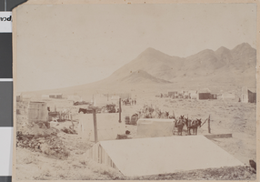
Photograph of Camp Butler, Tonopah, Nevada, January 1901
Date
Archival Collection
Description
Image

William Kissam Vanderbilt, Nevada assemblyman: photographic print
Date
Archival Collection
Description
Image
Merle Frehner Map of St. Thomas, Nevada
Identifier
Abstract
The Merle Frehner Map of St. Thomas, Nevada (1981) consists of a hand-drawn map by Frehner of St. Thomas, Nevada who lived there from 1914 to 1932. The town was abandoned in 1933 due to the construction of Hoover Dam and is now beneath the waters of Lake Mead. Also included are instructions to the Geography 135 class at University of Nevada, Las Vegas to reproduce the map, which became a student project.
Archival Collection
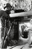
Mining operation in the vicinity of Beatty, Nevada: photographic print
Date
Archival Collection
Description
From the Nye County, Nevada Photograph Collection (PH-00221) -- Series III. Beatty, Nevada -- Subseries III.C. Revert Family. Photograph appeared in conjunction with an article on the Revert brothers in Minute Man Magazine.
Image
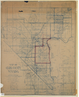
Map of Clark County, Nevada, 1927
Date
Description
Image

