Search Results
Generations of the Shoah - Nevada Records
Identifier
Abstract
The Generations of the Shoah - Nevada (GS-N) records (approximately 2001-2020) are mainly comprised of meeting notes, correspondence, fliers, event programs, speeches, planning documents, scrapbooks, exhibit panels, and educational materials created by GS-N president Esther Finder and collaborators in the Las Vegas, Nevada Jewish community and the international Holocaust education and remembrance community. The collection also includes personal stories of Holocaust survivors and their families, which are recorded in virtual books, publications, videotaped interviews, and Las Vegas, Nevada filmmaker Brett Levner's videos:
Archival Collection
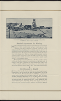

Photograph of Bank of Nevada, Boulder City, Nevada, circa 1930-1940
Date
Archival Collection
Description
Image
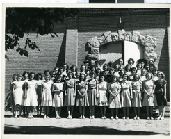
Photograph of the First Girls' State of Nevada, Nevada, 1946-1947
Date
Archival Collection
Description
Image
Nevada Political Buttons Collection
Identifier
Abstract
The Nevada Political Buttons Collection contains campaign buttons from 1972 to 2000. The collection includes buttons for political candidates at the federal, state, and local levels, including Bill Clinton and Al Gore for President of the United States, Harry Reid for United States Senate from Nevada, Bob Miller for governor of Nevada, and various candidates for Nevada's state legislature and other elected positions. The collection also contains buttons from some of Nevada's local political organizations, including Las Vegas, Nevada's branch of the Culinary Union, Nevada Fair Pay Coalition, and No Nuclear in Nevada.
Archival Collection
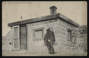
The Can House located in Tonopah, Nevada: postcard
Date
Archival Collection
Description
Image
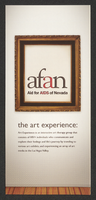
Aid for AIDS of Nevada "the art experience" pamphlet
Date
Archival Collection
Description
Text
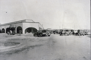
Slide of Nevada Highway, Boulder City, Nevada, December 1, 1931
Date
Archival Collection
Description
Image

El Mirador Motel in Las Vegas, Nevada: postcard
Date
Archival Collection
Description
Image
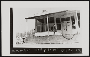
Porch of The Big Store in Beatty, Nevada: photographic print
Date
Archival Collection
Description
Image