Search the Special Collections and Archives Portal
Search Results
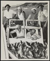
Photograph of fishermen with their catch from Lake Mead, Boulder City (Nev.), 1940s
Date
Archival Collection
Description
Image
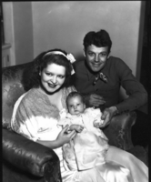
Clara Bow and Rex Bell (George Francis Beldam) with their new infant Rex Anthony Bell, Jr (Toni Larbow Beldam): photographic print
Date
Archival Collection
Description
Dorothy Bell Scans UNLV-Public Lands Institute
Image
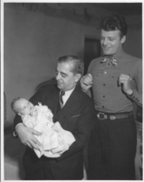
Photograph of Robert "King" Bow, Rex Bell (George Francis Beldam) and Rex Anthony Bell, Jr (Toni Larbow Beldam) as an infant: photographic print
Date
Archival Collection
Description
Dorothy Bell Scans UNLV-Public Lands Institute
Image
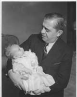
Professional photograph of Robert "King" Bow and Rex Anthony Bell, Jr (Toni Larbow Beldam) as an infant: photographic print
Date
Archival Collection
Description
Dorothy Bell Scans UNLV-Public Lands Institute
Image
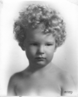
Professional photograph of Rex Anthony Bell, Jr (Toni Larbow Beldam) as a child: photographic print
Date
Archival Collection
Description
Dorothy Bell Scans UNLV-Public Lands Institute
Stamped on the front of the photo is: Autrey, Hollywood
Image
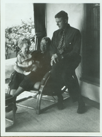
Rex Bell, Rex Bell Jr. and Daisy Beldam: photographic print
Date
Archival Collection
Description
Dorothy Bell Scans UNLV-Public Lands Institute
Image
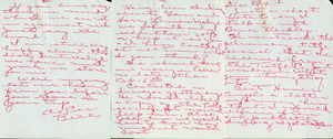
Scanned image of a handwritten note to Rex Bell (George Francis Beldam) by someone named Bill discussing business: personal papers
Date
Archival Collection
Description
Dorothy Bell Scans UNLV-Public Lands Institute
Text
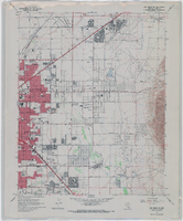
Topographic map of the northeast quadrangle of the metropolitan Las Vegas, Nevada area, 1967
Date
Description
Image
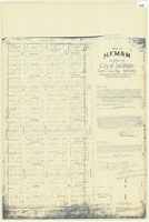
Plat of H.F.M & M addition to city of Las Vegas, Clark County, Nevada, comprising the west 1/2 of N.W. 1/4 Sec. 27, Twp. 20 S., R. 61 E., M.D.B & M, March 8, 1924
Date
Description
Image
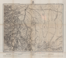
Map of part of central Colorado, May 7, 1877
Date
Description
38 x 48 cm. Relief shown by hachures and spot heights. "Atlas sheet no. 53(C)." "Issued May 7th 1877." "1st. Lieut. Geo. M. Wheeler, Corps of Engineers, U.S. Army." Prime meridians: Greenwich and Washington, D.C. Includes sectional diagram that shows how atlas sheets fit together. "Weyss, Herman & Lang, del." "Louis Nell, J. J. Young, topographical assistants." "Under the direction of Brig. General A. A. Hunphreys, Chief of Engineers, U. S. Army." "Expeditions of 1873 and 1876 under the command of 1st. Lieutenant William L. Marshall, Corps of Engineers, U. S. Army, 1st Lieutenant Eric Bergland, Corps of Engineers, U. S. Army, Executive Officers and field astronomers." "By order of the honorable the Secretary of War." Original publisher: Graphic Co. photo., Scale: 1 inch to 4 miles or 1:253440.
Image
