Search the Special Collections and Archives Portal
Search Results
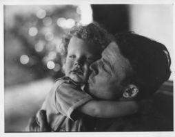
Rex Bell with Rex Anthony Bell, Jr. as a child: photographic print
Date
1880 to 1979
Archival Collection
Description
Dorothy Bell Scans UNLV-Public Lands Institute.
Image
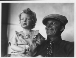
Rex Bell holding Rex Anthony Bell, Jr.: photographic print
Date
1934 (year approximate) to 1962 (year approximate)
Archival Collection
Description
Dorothy Bell Scans UNLV-Public Lands Institute
Image
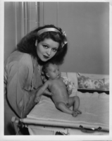
Clara Bow holding Rex Anthony Bell, Jr., as an infant: photographic print
Date
1934 (year approximate) to 1935 (year approximate)
Archival Collection
Description
Dorothy Bell Scans UNLV-Public Lands Institute
Image

Clara Bow holding Rex Anthony Bell, Jr., as an infant: photographic print
Date
1934 (year approximate) to 1935 (year approximate)
Archival Collection
Description
Dorothy Bell Scans UNLV-Public Lands Institute
Image

Clara Bow holding Rex Anthony Bell, Jr., as an infant: photographic print
Date
1934 to 1965
Archival Collection
Description
Dorothy Bell Scans UNLV-Public Lands Institute
Image
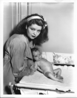
Clara Bow holding Rex Anthony Bell, Jr., as an infant: photographic print
Date
1934 (year approximate) to 1935 (year approximate)
Archival Collection
Description
Dorothy Bell Scans UNLV-Public Lands Institute
Image
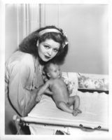
Clara Bow holding Rex Anthony Bell, Jr., as an infant: photographic print
Date
1934 (year approximate) to 1935 (year approximate)
Archival Collection
Description
Dorothy Bell Scans UNLV-Public Lands Institute
Image
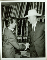
Rex Bell with an unidentified man: photographic print
Date
1880 to 1979
Archival Collection
Description
Dorothy Bell Scans UNLV-Public Lands Institute
Image
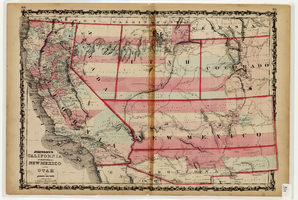
Map of California and Territories of New Mexico and Utah, 1862
Date
1862
Description
Scale [ca. 1:3,231,360. 1 in. to approx. 51 miles] (W 125°00--W 103°30/N 42°00--N 31°45) ; 1 map : hand col. ; 40 x 60 cm., on sheet 46 x 68 cm ; Relief indicated by hachures and spot heights ; Prime meridians: Greenwich and Washington, D.C ; Decorative border ; Hand colored ; Atlas p. numbers in upper margin: 58-59 ; Date est. from territorial borders and county configuration ; Shows natural features, locations of Indian tribes, proposed railroad routes, routes of explorers, trails, county boundaries and populated places ; Johnson and Ward
Image
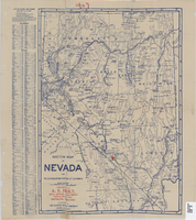
Sketch map of Nevada and the southeastern portion of California, 1906
Date
1906
Description
1907 written in red pencil at top of map. 41 x 29 cm. Relief shown by hachures. Copyright held by George S. Clason. Includes index. "Compliments of A.E. Holt, real estate and mines, Bullfrog Mining Dist., Rhyolite, Nevada." Red star indicates location of A.E. Holt company. Shows railroad routes. Library's copy has "1907" printed with brown crayon in upper margin and has four sets of two holes punched in a vertical line along the right third of the map. Original publisher: Clason Map Co..
Image
Pagination
Refine my results
Content Type
Creator or Contributor
Subject
Archival Collection
Digital Project
Resource Type
Year
Material Type
Place
Language
Records Classification
