Search the Special Collections and Archives Portal
Search Results
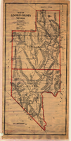
Map of Lincoln and Clark Counties, Nevada, 1908
Date
1908
Description
'Map of Lincoln County, Nevada. Compiled by H.E. Freudenthal from official surveys. Copyright, 1908, by H.E. Freudenthal.' Relief shown by hachures and spot heights. Shows range and township grid. Shows towns, railroads, proposed railroads, wagon roads and springs. Scale [ca. 1:380,160]. 1 in. to approx. 6 miles (W 116°--W 114°/N 39°--N 35°).
Image
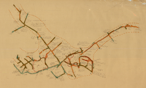
Map of the 328 foot level of the Combination Mine, Goldfield, Nevada, circa 1902-1908
Date
1902 to 1908
Description
Hand-drawn, hand-colored and annotated map showing the 328 foot level of the Combination Mine.
Image

Map of underground workings in Potosi and Central Lodes, May 1906
Date
1906-05
Description
'Scale 20 ft = 1 in.'
Image
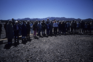
Slide of a group of protesters at a demonstration near the Nevada Test Site, circa 1990
Date
1988 to 1991
Archival Collection
Description
Color image of protesters standing side-by-side at an anti-nuclear testing demonstration in the Nevada desert.
Image
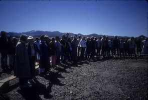
Slide of a group of protesters at a demonstration near the Nevada Test Site, circa 1990
Date
1988 to 1991
Archival Collection
Description
Color image of protesters standing side-by-side at an anti-nuclear testing demonstration in the Nevada desert.
Image
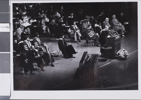
Slide of commencement ceremony for University of Nevada, Las Vegas, 1977
Date
1977
Archival Collection
Description
A view of the stage during UNLV commencement exercises.
Image
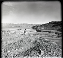
Film transparency of Echo Bay, Lake Mead, Nevada, 1961
Date
1961
Archival Collection
Description
An unidentified woman sits and takes in the view at Echo Bay at Lake Mead, 1961.
Image

Film transparency of the Grand Canyon, Arizona, 1947
Date
1947
Archival Collection
Description
A view of the Grand Canyon, taken from the Rim.
Image
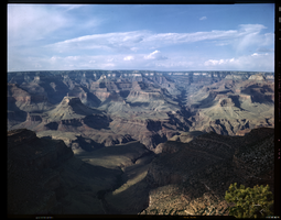
Film transparency of the North Rim of the Grand Canyon, Arizona, 1955
Date
1955
Archival Collection
Description
A view of the North Rim of the Grand Canyon, taken from the South Rim. The Colorado River is barely visible at the bottom of the photograph.
Image
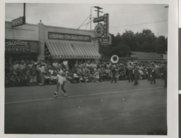
Photograph of Fremont Street, Las Vegas, circa late 1940s
Date
1945 to 1949
Archival Collection
Description
Black and white photograph of parade of some sort between 7th and 8th street of Fremont Street in late 1940s, possibly Helldorado Parade.
Image
Pagination
Refine my results
Content Type
Creator or Contributor
Subject
Archival Collection
Digital Project
Resource Type
Year
Material Type
Place
Language
Records Classification
