Search the Special Collections and Archives Portal
Search Results
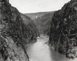
Photograph of Black Canyon, Hoover Dam, April 12, 1922
Date
1922-04-12
Archival Collection
Description
Black and white image showing an upstream view of Black Canyon from a point on its Nevada side, approximately a half mile below the Hoover Dam construction site. Note: Boulder Dam was officially renamed Hoover Dam in 1947.
Image

Photograph of construction at Hoover Dam, October 2, 1934
Date
1934-10-02
Archival Collection
Description
Black and white image of the eight cubic yard capacity bucket discharging a load into the upstream face of Hoover Dam. Note: Boulder Dam was officially renamed Hoover Dam in 1947.
Image
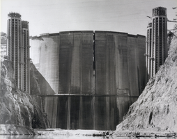
Photograph of reservoir, Hoover Dam, February 28, 1935
Date
1935-02-28
Archival Collection
Description
Black and white image of the upstream face of Hoover Dam. Note: Boulder Dam was officially renamed Hoover Dam in 1947.
Image

Photograph of construction, Hoover Dam, December 20, 1933
Date
1933-12-20
Archival Collection
Description
Black and white image of Hoover Dam as seen from the control tower of the 150-ton cableway on the Nevada rim of Black Canyon. Note: Boulder Dam was officially renamed Hoover Dam in 1947.
Image
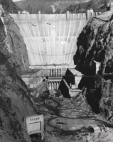
Photograph of Hoover Dam, November 26, 1935
Date
1935-11-26
Archival Collection
Description
Black and white image of Hoover Dam under construction in Black Canyon. Arizona and Nevada can be seen on either side of the dam in this picture. Note: Boulder Dam was officially renamed Hoover Dam in 1947.
Image
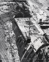
Photograph of spillway, Hoover Dam, June 10, 1933
Date
1933-06-10
Archival Collection
Description
Black and white image of an aerial view looking upstream through the Nevada spillway. At the left are two panels of the overflow weir under construction. Note: Boulder Dam was officially renamed Hoover Dam in 1947.
Image
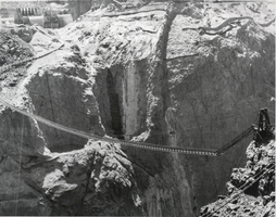
Photograph of construction, Hoover Dam, August 29, 1933
Date
1933-08-29
Archival Collection
Description
Black and white image of Hoover Dam construction. A cat-walk is visible, spanning the canyon over the upstream cofferdam. The span is approximately between triangulation points C-7 and C-8. Elevation at the middle of the span is approximately 1,005 feet. Note: Boulder Dam was officially renamed Hoover Dam in 1947.
Image
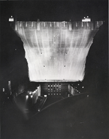
Photograph of power plant, Hoover Dam, April 12, 1938
Date
1938-04-12
Archival Collection
Description
Black and white image of the downstream face of Hoover Dam and its power plant at night, as seen from the lower portal road at the dam. Note: Boulder Dam was officially renamed Hoover Dam in 1947.
Image
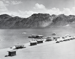
Photograph of the beach, Lake Mead, June 29, 1937
Date
1937-06-29
Archival Collection
Description
Black and white image of Lake Mead, including boat docks and a bathing beach developed by the National Park Service for recreational use, such as swimming and picnicking.
Image
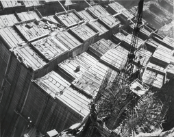
Photograph of construction, Hoover Dam, August 22, 1934
Date
1934-08-22
Archival Collection
Description
Black and white image of Hoover Dam construction. Note: Boulder Dam was officially renamed Hoover Dam in 1947.
Image
Pagination
Refine my results
Content Type
Creator or Contributor
Subject
Archival Collection
Digital Project
Resource Type
Year
Material Type
Place
Language
Records Classification
