Search the Special Collections and Archives Portal
Search Results
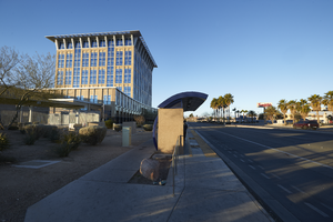
Bus stop in front of the North Las Vegas City Hall building, looking west in North Las Vegas, Nevada: digital photograph
Date
Archival Collection
Description
From the UNLV University Libraries Photographs of the Development of the Las Vegas Valley, Nevada (PH-00394). Part of the collection documents the entire 19 mile length of the north/south Eastern Avenue / Civic Center Drive alignment. This photograph was captured in the section of Civic Center Drive between Las Vegas Boulevard and Lake Mead Boulevard.
Image
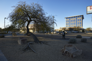
Landscaping in front of North Las Vegas City Hall building and Walgreens, looking west in North Las Vegas, Nevada: digital photograph
Date
Archival Collection
Description
From the UNLV University Libraries Photographs of the Development of the Las Vegas Valley, Nevada (PH-00394). Part of the collection documents the entire 19 mile length of the north/south Eastern Avenue / Civic Center Drive alignment. This photograph was captured in the section of Civic Center Drive between Las Vegas Boulevard and Lake Mead Boulevard.
Image
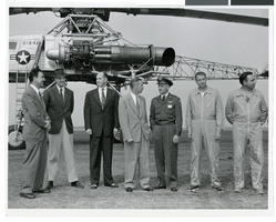
Photograph of Howard Hughes and others with a XH-17 helicopter, Culver City, California, October 23, 1952
Date
Archival Collection
Description
Image
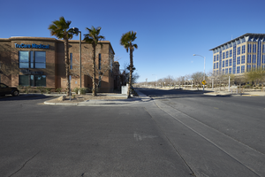
The TruCare Medical building on North McDaniel Street with City Hall, looking west in North Las Vegas, Nevada: digital photograph
Date
Archival Collection
Description
From the UNLV University Libraries Photographs of the Development of the Las Vegas Valley, Nevada (PH-00394). Part of the collection documents the entire 19 mile length of the north/south Eastern Avenue / Civic Center Drive alignment. This photograph was captured in the section of Civic Center Drive between Las Vegas Boulevard and Lake Mead Boulevard.
Image
William D. Howard, Marcus Howard, Nancy Howard Copley, Mary Josephine Baxter Howard, Ollie Howard Lohr, Allie Howard Moxley, Lyght Howard, and Minnie Howard, Oregon, undated
Level of Description
Archival Collection
Collection Name: Josephine Johnson Foster Photograph Collection
Box/Folder: Folder 01
Archival Component
Howard Hughes College of Engineering Senior Design Competition held inside The Great hall on December 7, 2011: digital photographs
Date
Archival Collection
Description
Image
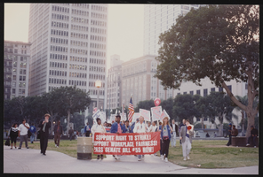
March to Los Angeles: City Hall, Culinary Union, Los Angeles (Calif.), 1992 (folder 1 of 2), image 1
Date
Description
Image
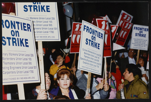
March to Los Angeles: City Hall, Culinary Union, Los Angeles (Calif.), 1992 (folder 1 of 2), image 2
Date
Description
Image
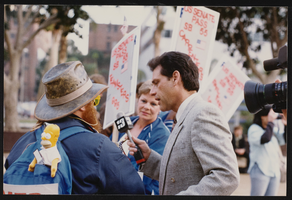
March to Los Angeles: City Hall, Culinary Union, Los Angeles (Calif.), 1992 (folder 1 of 2), image 3
Date
Description
Image
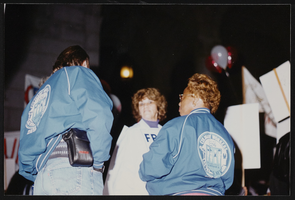
March to Los Angeles: City Hall, Culinary Union, Los Angeles (Calif.), 1992 (folder 1 of 2), image 4
Date
Description
Image
