Search the Special Collections and Archives Portal
Search Results
Howard Cannon Photograph Collection
Identifier
Abstract
The Howard Cannon Photograph Collection (1950-1983) contains photographic prints, negatives, and one slide featuring Senator Howard Cannon at various political and publicity events with military personnel, political colleagues, and constituents primarily in the state of Nevada. Other photographs feature Cannon at political and publicity events outside of Nevada including California, New York, Florida, Oregon, and Washington, D.C.
Archival Collection
Third Avenue, New York by John McNulty, 1946 July
Level of Description
Archival Collection
Collection Name: Beverly Rogers Collection of Armed Services Editions
Box/Folder: Box 05
Archival Component

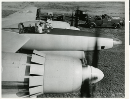
Photograph of Howard Hughes in the cockpit of the XF-11 preparing for his first test flight in Culver City, California July 7, 1947
Date
Archival Collection
Description
Image

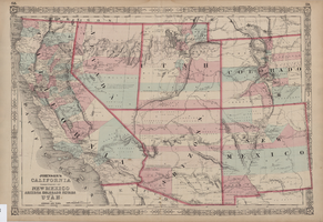
Map of California, territories of New Mexico, Arizona, Colorado, Nevada and Utah, circa 1863
Date
Description
Image

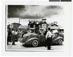
Photograph of Hughes Tool Company employees welcoming Howard Hughes, Houston, Texas, July 30, 1938
Date
Archival Collection
Description
Image
#72831: UNLV Family Network - New Student Orientation, 2019 July 19
Level of Description
Archival Collection
Collection Name: University of Nevada, Las Vegas Creative Services Records (2010s)
Box/Folder: Digital File 01
Archival Component
Crowd standing outside City Hall while Howard Hughes and his crew get their picture taken in celebration of Hughes's completion of his around-the-world flight in New York City, 1938 July 15
Level of Description
Archival Collection
Collection Name: Howard Hughes Public Relations Photograph Collection
Box/Folder: Folder 12
Archival Component
