Search Results
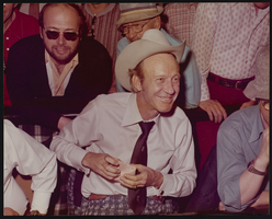
Photograph of a man in a tie, Las Vegas (Nev.), 1974
Date
1974
Archival Collection
Description
A photograph of Amarillo Slim shown during World Series of Poker Tournament in Las Vegas, Nevada in 1974.
Image
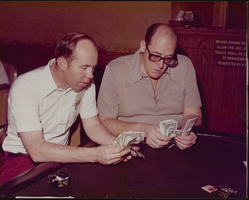
Photograph of Jack Binion and Doyle Brunson counting money, Las Vegas, Nevada, 1979
Date
1979
Archival Collection
Description
Jack Binion (left) and Doyle Brunson counting money at the 1979 World Series of Poker, Binion's Horseshoe Hotel.
Image
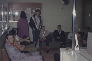
Color view of several people gathered in a reception area.
Date
1950 to 1969
Description
Arrangement note: Series V. Glass slides
Image
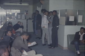
Color view of several people gathered in a reception area.
Date
1950 to 1969
Description
Arrangement note: Series V. Glass slides
Image
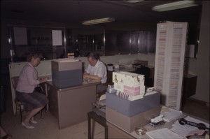
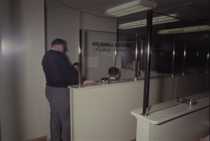
Color view of two people in a shared office area.
Date
1950 to 1969
Description
Arrangement note: Series V. Glass slides
Image
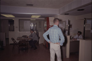
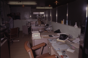
Color view of three people in a shared office and break room area.
Date
1950 to 1969
Description
Arrangement note: Series V. Glass slides
Image
Color view of three people having a meeting in Mike Pisanello's office area.
Date
1950 to 1969
Description
Arrangement note: Series V. Glass slides
Image
Color view of two people in a shared office area.
Date
1950 to 1969
Description
Arrangement note: Series V. Glass slides
Image