Search the Special Collections and Archives Portal
Search Results

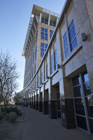
Exterior view of the North Las Vegas City Hall building in North Las Vegas, Nevada: digital photograph
Date
Archival Collection
Description
From the UNLV University Libraries Photographs of the Development of the Las Vegas Valley, Nevada (PH-00394). Part of the collection documents the entire 19 mile length of the north/south Eastern Avenue / Civic Center Drive alignment. This photograph was captured in the section of Civic Center Drive between Las Vegas Boulevard and Lake Mead Boulevard.
Image

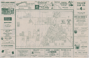
Street map of the city of Las Vegas, 1954
Date
Description
Image

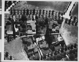
Photograph of crash of Howard Hughes' XF-11, Culver City, California, July 07, 1946
Date
Archival Collection
Description
Image

Photograph of crash of Howard Hughes' XF-11, Culver City, California, July 07, 1946
Date
Archival Collection
Description
Image
Coalition for Casino Gambling: plan for New York City, undated
Level of Description
Archival Collection
Collection Name: Eugene Martin Christiansen Papers
Box/Folder: Box 163
Archival Component
New York City Council news reports and correspondence, 1990
Level of Description
Archival Collection
Collection Name: Eugene Martin Christiansen Papers
Box/Folder: Box 163
Archival Component
"The Meadowlands and New York City's Harness Racing Industry", 1987
Level of Description
Archival Collection
Collection Name: Eugene Martin Christiansen Papers
Box/Folder: Box 049
Archival Component
Howard Booth Papers
Identifier
Abstract
The Howard Booth Papers are comprised of the personal papers of environmental activist Howard Booth from 1964 to 2017. The collection includes information about Booth's efforts to help turn Red Rock Canyon into a National Conservation Area. Booth was a member of multiple conservation organizations and the collection includes meeting minutes and newsletters from the Toiyabe chapter of the Sierra Club. The collection also contains correspondence, newspaper clippings, official reports, newsletters, and meeting minutes collected by Booth from various environmental organizations. The papers also include numerous photographic slides with handwritten captions Booth took of Red Rock and the surrounding area from the early 1980s to 2000s.
Archival Collection
New York City Pizza, menu, approximately 1961 to 1990
Level of Description
Archival Collection
Collection Name: UNLV University Libraries Menu Collection
Box/Folder: Box 35
Archival Component

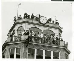
Photograph of people atop a tower awaiting the arrival of Howard Hughes, New York, July 14, 1938
Date
Archival Collection
Description
Image
