Search Results
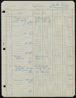
Schwartz, Stanley
Schwartz was born on May 13, 1926 in Cheyenne, Wyoming. He attended Colorado Military School in Denver, Colorado and the University of Southern California. He left the university without a degree and went into the merchant tailoring business in Los Angeles, California. After that business went bankrupt, he moved to Las Vegas, Nevada with his brother, Seymour Schwartz, around 1951 and started Schwartz Brothers Clothing.
Person

Architectural drawing of the Showboat Hotel and Casino (Atlantic City), parking plan, fourth to eighth level plan, 1985
Date
Archival Collection
Description
Fourth to eighth level parking structure plans for the construction of the Showboat Hotel and Casino in Atlantic City from 1985. Includes revision dates and key plan. Parchment copy.
Site Name: Showboat Hotel and Casino (Atlantic City)
Address: 801 Boardwalk, Atlantic City, NJ
Image
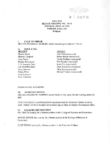
Meeting minutes for Consolidated Student Senate University of Nevada, Las Vegas, June 13, 1994
Date
Archival Collection
Description
Text


University of Nevada, Las Vegas (UNLV) 6th commencement program
Date
Archival Collection
Description
Commencement program from University of Nevada, Las Vegas Commencement Programs and Graduation Lists (UA-00115).
Text