Search the Special Collections and Archives Portal
Search Results
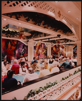
Gamblers in the Showboat Casino, Atlantic City, New Jersey: photographic print
Date
1986
Archival Collection
Description
From the Showboat Atlantic City Photograph Collection (PH-00329).
Image
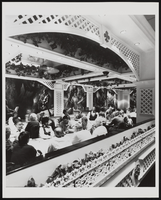
Gamblers in the Showboat Casino, Atlantic City, New Jersey: photographic print
Date
1986
Archival Collection
Description
From the Showboat Atlantic City Photograph Collection (PH-00329).
Image
Atlantic City Boardwalk street elevation by M. Barsoum: Atlantic City Boardwalk Hall, Caesars Atlantic City Hotel & Casino, and Bally's Atlantic City in view, 1979
Level of Description
File
Archival Collection
UNLV University Libraries Collection of Architecture Drawings
To request this item in person:
Collection Number: MS-00923
Collection Name: UNLV University Libraries Collection of Architecture Drawings
Box/Folder: Flat File 08
Collection Name: UNLV University Libraries Collection of Architecture Drawings
Box/Folder: Flat File 08
Archival Component
Howard Hughes is appointed Aeronautic Adviser to the 1939 New York World's Fair by Grover Whalen, 1938
Level of Description
File
Archival Collection
Howard Hughes Public Relations Photograph Collection
To request this item in person:
Collection Number: PH-00373
Collection Name: Howard Hughes Public Relations Photograph Collection
Box/Folder: Folder 10
Collection Name: Howard Hughes Public Relations Photograph Collection
Box/Folder: Folder 10
Archival Component

Photograph of Howard Hughes in cockpit, New York, February 15, 1946
Date
1946-02-15
Archival Collection
Description
A view of Howard Hughes, left, and other men who helped to pilot a Trans World Airline aircraft in New York.
Image
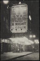
The marquee of the 44th Street Theatre, New York City: photographic print
Date
1890 (year approximate) to 1980 (year approximate)
Archival Collection
Description
The marquee of the 44th Street Theatre, New York City. Grace Hayes' name is on the marquee for the show "A Night in Spain."
Image
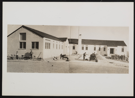
Photograph of recreation area administration building, Boulder city (Nev.), March 31, 1938
Date
1938-03-31
Archival Collection
Description
General view of workers standing outside of the administration building at Boulder Dam Recreation Area.
Image
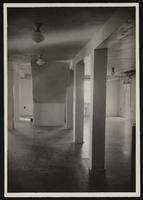
Photograph of museum basement underneath the stairs, Boulder City (Nev.), January 10, 1938
Date
1938-01-10
Archival Collection
Description
Center of the basement museum room, looking southwest, showing space underneath the stairs. This area was possibly used for diorama installation.
Image
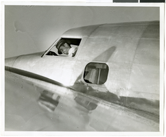
Photograph of Howard Hughes in his Lockheed 14 aircraft, Floyd Bennett Field, New York, July 10, 1938
Date
1938-07-10
Archival Collection
Description
The black and white view of Howard Hughes in his Lockheed 14 aircraft at Floyd Bennett Field in New York. Text printed on accompanying paper strip: "Hughes takes off on flight to Paris. Floyd Bennett Field, New York City-- Howard Hughes, multi-millionaire speed flyer, pictured in the nose of his Hughes Lockheed "Flying Laboratory" as Hughes and his picked crew of four prepared for the take-off to Paris and probably around the world on July 10th. A few minutes after this picture was taken, the giant ship lifted from the field to follow the trail blazed by Chrales A. Lindbergh. Credit Line (ACME) 7/10/38."
Image

Photograph of the Lockheed 14 aircraft, July 1938
Date
1938-07
Archival Collection
Description
The black and white, skyline view of New York City with Lockheed 14 aircraft flying in the foreground. Typed onto script included with the image: "Howard Hughes plane Lockheed 14 in flight over lower New York City. To right in the background can be seen New York City's three bridges of the lower East River from front to rear: the Brooklyn Bridge, Manhattan Bridge, and the Williamsburg Bridge."
Image
Pagination
Refine my results
Content Type
Creator or Contributor
Subject
Archival Collection
Digital Project
Resource Type
Year
Material Type
Place
Language
Records Classification
