Search Results
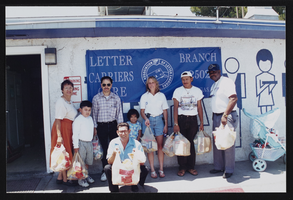
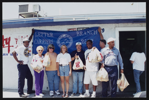
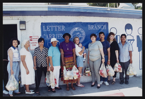
Audrey and letter carriers food drive, Culinary Union, Las Vegas (Nev.), 1997 (folder 1 of 4), image 43
Date
1997
Description
Arrangement note: Series II. Public Events
Image
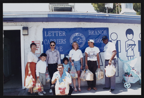
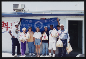
Audrey and letter carriers food drive, Culinary Union, Las Vegas (Nev.), 1997 (folder 1 of 4), image 44
Date
1997
Description
Arrangement note: Series II. Public Events
Image
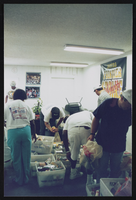
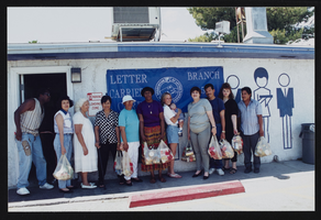
Audrey and letter carriers food drive, Culinary Union, Las Vegas (Nev.), 1997 (folder 1 of 4), image 45
Date
1997
Description
Arrangement note: Series II. Public Events
Image
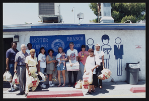
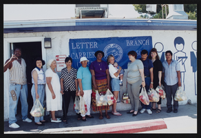
Audrey and letter carriers food drive, Culinary Union, Las Vegas (Nev.), 1997 (folder 1 of 4), image 46
Date
1997
Description
Arrangement note: Series II. Public Events
Image
Audrey and letter carriers food drive, Culinary Union, Las Vegas (Nev.), 1997 (folder 1 of 4), image 47
Date
1997
Description
Arrangement note: Series II. Public Events
Image
Audrey and letter carriers food drive, Culinary Union, Las Vegas (Nev.), 1997 (folder 1 of 4), image 48
Date
1997
Description
Arrangement note: Series II. Public Events
Image

Audrey and letter carriers food drive, Culinary Union, Las Vegas (Nev.), 1997 (folder 1 of 4), image 49
Date
1997
Description
Arrangement note: Series II. Public Events
Image
Audrey and letter carriers food drive, Culinary Union, Las Vegas (Nev.), 1997 (folder 1 of 4), image 50
Date
1997
Description
Arrangement note: Series II. Public Events
Image
Audrey and letter carriers food drive, Culinary Union, Las Vegas (Nev.), 1997 (folder 1 of 4), image 51
Date
1997
Description
Arrangement note: Series II. Public Events
Image
Audrey and letter carriers food drive, Culinary Union, Las Vegas (Nev.), 1997 (folder 1 of 4), image 52
Date
1997
Description
Arrangement note: Series II. Public Events
Image