Search Results
Frontier Strike rally, Culinary Union, Las Vegas (Nev.), 1991 September 21 (folder 2 of 4), image 55
Date
1991-09-21
Description
Arrangement note: Series I. Demonstrations, Subseries I.A. Frontier Strike
Image
Frontier Strike rally, Culinary Union, Las Vegas (Nev.), 1991 September 21 (folder 2 of 4), image 56
Date
1991-09-21
Description
Arrangement note: Series I. Demonstrations, Subseries I.A. Frontier Strike
Image

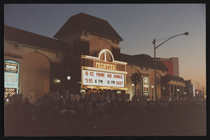
Frontier Strike rally, Culinary Union, Las Vegas (Nev.), 1991 September 21 (folder 2 of 4), image 57
Date
1991-09-21
Description
Arrangement note: Series I. Demonstrations, Subseries I.A. Frontier Strike
Image

Frontier Strike rally, Culinary Union, Las Vegas (Nev.), 1991 September 21 (folder 2 of 4), image 58
Date
1991-09-21
Description
Arrangement note: Series I. Demonstrations, Subseries I.A. Frontier Strike
Image
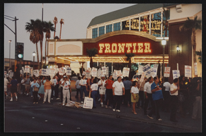
Frontier Strike rally, Culinary Union, Las Vegas (Nev.), 1991 September 21 (folder 3 of 4), image 16
Date
1991-09-21
Description
Arrangement note: Series I. Demonstrations, Subseries I.A. Frontier Strike
Image
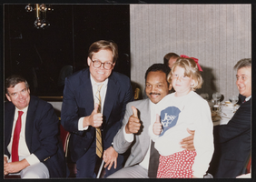
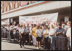
Rally at the Horseshoe Strike with Jesse Jackson, Culinary Union, Las Vegas (Nev.), 1990 June (folder 1 of 2), image 37
Date
1990-06
Description
Arrangement note: Series I. Demonstrations, Subseries I.B. Other Demonstrations and Strikes
Image
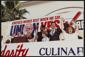
Rally at the Horseshoe Strike with Jesse Jackson, Culinary Union, Las Vegas (Nev.), 1990 June (folder 2 of 2), image 4
Date
1990-06
Description
Arrangement note: Series I. Demonstrations, Subseries I.B. Other Demonstrations and Strikes
Image
Rally at the Horseshoe Strike with Jesse Jackson, Culinary Union, Las Vegas (Nev.), 1990 June (folder 2 of 2), image 53
Date
1990-06
Description
Arrangement note: Series I. Demonstrations, Subseries I.B. Other Demonstrations and Strikes
Image
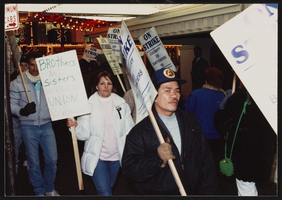
Horseshoe Strike demostrations, Culinary Union, Las Vegas (Nev.), 1990 March (folder 1 of 1), image 10
Date
1990-03
Description
Arrangement note: Series I. Demonstrations, Subseries I.B. Other Demonstrations and Strikes
Image
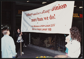
Horseshoe Strike demostrations, Culinary Union, Las Vegas (Nev.), 1990 March (folder 1 of 1), image 30
Date
1990-03
Description
Arrangement note: Series I. Demonstrations, Subseries I.B. Other Demonstrations and Strikes
Image