Search Results
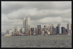
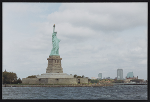
127 New York (N.Y.), Culinary Union, 1990s (folder 1 of 1), image 1
Date
1990 to 1999
Description
Arrangement note: Series III. Internal: Work
Image
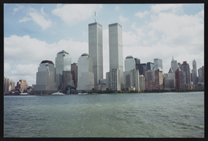
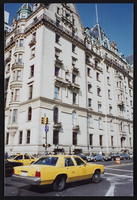
127 New York (N.Y.), Culinary Union, 1990s (folder 1 of 1), image 2
Date
1990 to 1999
Description
Arrangement note: Series III. Internal: Work
Image
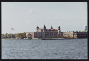
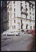
127 New York (N.Y.), Culinary Union, 1990s (folder 1 of 1), image 3
Date
1990 to 1999
Description
Arrangement note: Series III. Internal: Work
Image
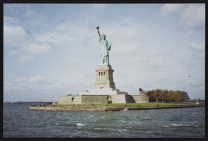
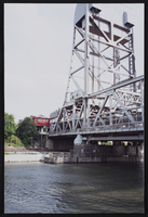
127 New York (N.Y.), Culinary Union, 1990s (folder 1 of 1), image 4
Date
1990 to 1999
Description
Arrangement note: Series III. Internal: Work
Image

127 New York (N.Y.), Culinary Union, 1990s (folder 1 of 1), image 5
Date
1990 to 1999
Description
Arrangement note: Series III. Internal: Work
Image
127 New York (N.Y.), Culinary Union, 1990s (folder 1 of 1), image 6
Date
1990 to 1999
Description
Arrangement note: Series III. Internal: Work
Image
127 New York (N.Y.), Culinary Union, 1990s (folder 1 of 1), image 7
Date
1990 to 1999
Description
Arrangement note: Series III. Internal: Work
Image
127 New York (N.Y.), Culinary Union, 1990s (folder 1 of 1), image 8
Date
1990 to 1999
Description
Arrangement note: Series III. Internal: Work
Image
127 New York (N.Y.), Culinary Union, 1990s (folder 1 of 1), image 9
Date
1990 to 1999
Description
Arrangement note: Series III. Internal: Work
Image
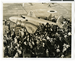
Photograph of the Lockheed 14 aircraft at Floyd Bennett Field, New York, July 10, 1938
Date
1938-07-10
Archival Collection
Description
The black and white view of the Lockheed 14 aircraft being surrounded by people at Floyd Bennett Field in New York.
Image