Search the Special Collections and Archives Portal
Search Results
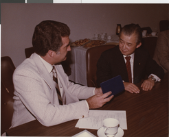
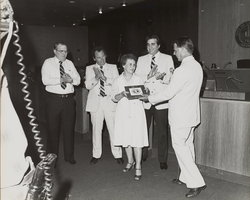
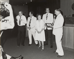
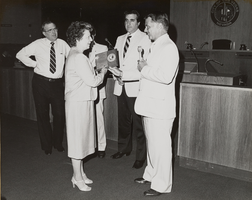
Photograph of Ron Lurie with Yoshiro Hayashi, October 1, 1982
Description
Label on back: Meeting with Japanese officials regarding financing for high speed train, October 1, 1982, Key Presentation by Commissioner Ron Lurie to Yoshiro Hayashi, Member - House of Representatives
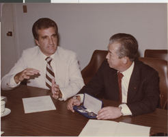
Photograph of Ron Lurie with Yoshiro Hayashi, October 1, 1982
Description
Label on back: Meeting with Japanese officials regarding financing for high speed train, October 1, 1982, Key Presentation by Commissioner Ron Lurie to Yoshiro Hayashi, Member - House of Representatives

Theodore Parsons' business card for Ted Parsons Agency Incorporated in Garland, Texas, image 002
Description
Florence-Goldfield Mining Company bills and receipts, 1912 to 1918
Level of Description
Scope and Contents
The Florence-Goldfield Mining Company Series comprises the financial records of the company dating from 1912 to 1918. The series contains primarily bills and receipts associated with purchases from various businesses located in Goldfield and elsewhere including: Nevada-California Power, Al Mills-General Blacksmithing, Wood and Sullivan Hardware, Verdi Lumber Company, Ferry's Transfer Company, and the Union Drayage Company.
Archival Collection
Collection Name: UNLV University Libraries Collection on Nevada Mining
Box/Folder: Box 03
Archival Component

Topographic map of groundwater in the southeast quadrangle of Las Vegas, Nevada, 1980
Date
Description
Text

