Search the Special Collections and Archives Portal
Search Results
Las Vegas Ranch and Las Vegas Fort photographs, approximately 1890-1940
Level of Description
Scope and Contents
The Las Vegas Ranch and Las Vegas Fort photographs depict the Las Vegas Ranch (also known as the Stewart Ranch) and the Las Vegas Fort (also known as the Old Mormon Fort) from approximately 1900 to 1940. The land around the Stewart Ranch and the Las Vegas Fort eventually became the town site for the city of Las Vegas, Nevada. The photographs include the fort, houses at the Stewart Ranch, the orchard, and Las Vegas Creek. The items described include photographic prints and negatives; items listed are photographic prints unless otherwise specified.
Archival Collection
Collection Name: Helen J. Stewart Photographs
Box/Folder: N/A
Archival Component
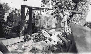
Film transparency of the gravel testing laboratory, Las Vegas, September 20, 1929
Date
Archival Collection
Description
Image
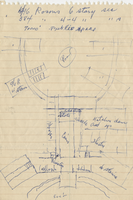
Architectural sketch of the Hacienda (Las Vegas), general layout of the property, 1951-1956
Date
Archival Collection
Description
Rough sketch of the general layout of the proposed Lady Luck, which later became the Hacienda (Las Vegas). Original medium: blue pen on notebook paper.
Site Name: Hacienda
Address: 3590 Las Vegas Boulevard South
Image
Don T. Walker Photograph Collection
Identifier
Abstract
The Don T. Walker Photograph Collection (1900-1995) is comprised of black-and-white and color photographs taken by or belonging to Las Vegas photographer and Nevada historian Don Travis Walker. The photographs taken by Walker include ghost towns in Nevada, Arizona, and California, as well as a series on Phil Benson, editor and publisher of the Southern Nevada Times. Other items in the collection include photographs taken by other people related to the Moulin Rouge Hotel in Las Vegas, various photographs of historic sites in Nevada, and a program from the Nevada State Museum and Historical Society for its "Moulin Rouge: History in the Making" exhibition.
Archival Collection

Telegram from J. Ross Clark to W. H. Comstock, January 23, 1905
Date
Archival Collection
Description
Text
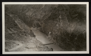
Photograph of construction of roads and bridge across Colorado River, Hoover Dam, circa 1930-1935
Date
Archival Collection
Description
Image
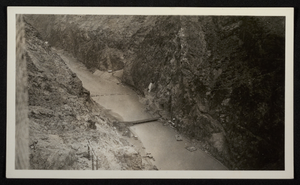
Photograph of construction of roads and bridge across Colorado River, Hoover Dam, circa 1930-1935
Date
Archival Collection
Description
Image
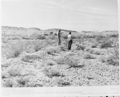
Film transparency of Old Mormon Canal near Overton, Nevada, February 20, 1948
Date
Archival Collection
Description
Image
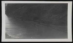
Photograph of shoreline of Colorado River near Hoover Dam, approximately 1930-1936
Date
Archival Collection
Description
Image
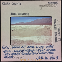
Photographic slide of Tule Springs, Nevada, January 16, 1963
Date
Archival Collection
Description
Image
