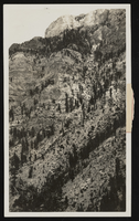
Search Results
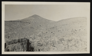
Quartzite in north Frenchman Flat, Nye County, Nevada: photographic print
Date
1910 (year approximate) to 1930 (year approximate)
Archival Collection
Description
From the Chester R. Longwell Photograph Collection (PH-00311). N V-46.
Image
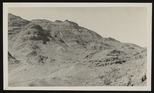
View of a mountain in the distance: photographic print
Date
1910 (year approximate) to 1930 (year approximate)
Archival Collection
Description
From the Chester R. Longwell Photograph Collection (PH-00311). N I-73 N. I-73.
Image
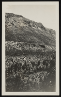
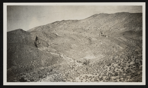
View of an unidentified mountain: photographic print
Date
1910 (year approximate) to 1930 (year approximate)
Archival Collection
Description
From the Chester R. Longwell Photograph Collection (PH-00311). N I-53.
Image
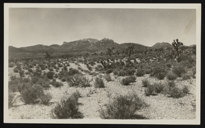
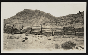
View of Frenchman Flat, Nye County, Nevada: photographic print
Date
1910 (year approximate) to 1930 (year approximate)
Archival Collection
Description
From the Chester R. Longwell Photograph Collection (PH-00311).Album I, 87.3. Dev. & Miss east of Frenchman Flat. Dipping E. N I-23.
Image
West side of Lee Canyon, Nevada: photographic print
Date
1910 (year approximate) to 1930 (year approximate)
Archival Collection
Description
From the Chester R. Longwell Photograph Collection (PH-00311). View of westside of Lee Canyon peaks. N I-46.
Image
View of Spotted Range, Nevada: photographic print
Date
1910 (year approximate) to 1930 (year approximate)
Archival Collection
Description
From the Chester R. Longwell Photograph Collection (PH-00311). Y.P. beds, 18 miles north of Indian Springs. N IV-97.
Image
View of hills at Indian Spring Ranch, Nye County, Nevada: photographic print
Date
1910 (year approximate) to 1930 (year approximate)
Archival Collection
Description
From the Chester R. Longwell Photograph Collection (PH-00311). Album I, 89.3. Hills at Indian Springs Ranch. N III-79.
Image
View of a Supai zone, Supai, Coconio County, Arizona: photographic print
Date
1910 (year approximate) to 1930 (year approximate)
Archival Collection
Description
From the Chester R. Longwell Photograph Collection (PH-00311). Supai zone, southwest of gassy springs. Geological Survey.
Image

View of Kaibab, Mohave County, Arizona, and Supai, Coconino County, Arizona: photographic print
Date
1910 (year approximate) to 1930 (year approximate)
Archival Collection
Description
From the Chester R. Longwell Photograph Collection (PH-00311). Kaibab and Supai at Great Western Gypsum Plant. (T.W. Stanton photo).
Image

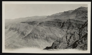
View of mountains: photographic print
Date
1910 (year approximate) to 1930 (year approximate)
Archival Collection
Description
From the Chester R. Longwell Photograph Collection (PH-00311). N II-66.
Image