Search the Special Collections and Archives Portal
Search Results
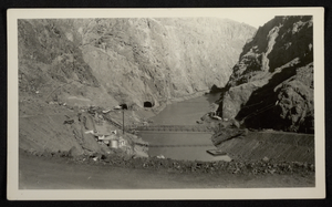
Photograph of construction of roads and bridge across Colorado River, Hoover Dam, circa 1930-1935
Date
1930 to 1935
Archival Collection
Description
An image of construction on roads and a bridge across the Colorado River at the Hoover (Boulder) Dam construction site. Noted on photo: "Taken by FAB."
Image
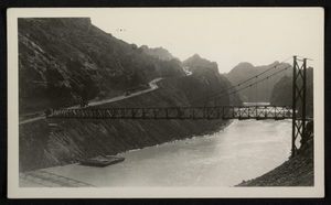
Colorado River and Hoover Dam: photographic prints and negatives, approximately 1945 to 1956
Level of Description
File
Scope and Contents
The Colorado River and Hoover Dam file consists of black-and-white photographic prints and negatives from approximately 1945 to 1956. The images depict the exterior and interior of the Hoover Dam, as well as aerial images of the Hoover Dam and the Colorado River.
Archival Collection
Ward Lindquist Photograph Collection on Lake Mead
To request this item in person:
Collection Number: PH-00084
Collection Name: Ward Lindquist Photograph Collection on Lake Mead
Box/Folder: Folder 01, Box 09, Box SH-020 (Restrictions apply)
Collection Name: Ward Lindquist Photograph Collection on Lake Mead
Box/Folder: Folder 01, Box 09, Box SH-020 (Restrictions apply)
Archival Component
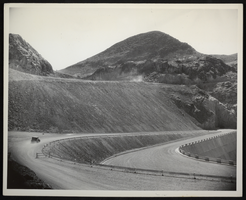
Photograph of Boulder Highway as it nears Hoover Dam, circa 1935
Date
1934 to 1936
Archival Collection
Description
An image of Boulder Highway as it nears Hoover Dam. A lone vehicle travels down the rocky road as clouds of dust spew from behind its rear tires.
Image
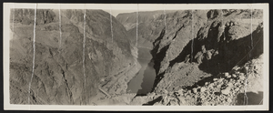
Photograph of canyon and dam construction, Hoover Dam, January 1933
Date
1933-01
Archival Collection
Description
Looking upstream from the Arizona canyon wall at the Hoover Dam, January 1933. The Colorado River curves around the bend of mountainous rock on the Arizona-side of the river.
Image
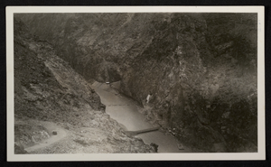
Photograph of construction of roads and bridge across Colorado River, Hoover Dam, circa 1930-1935
Date
1930 to 1935
Archival Collection
Description
An aerial image of construction on roads and a bridge across the Colorado River at the Hoover (Boulder) Dam construction site. Noted on photo: "Taken by FAB."
Image
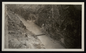
Photograph of construction of roads and bridge across Colorado River, Hoover Dam, circa 1930-1935
Date
1930 to 1935
Archival Collection
Description
An aerial image of construction on roads and a bridge across the Colorado River at the Hoover (Boulder) Dam construction site. Noted on photo: "Taken by FAB."
Image
Hoover Dam's downstream side, Nevada, 1961
Level of Description
File
Archival Collection
Elton and Madelaine Garrett Photograph and Architectural Drawing Collection
To request this item in person:
Collection Number: PH-00265
Collection Name: Elton and Madelaine Garrett Photograph and Architectural Drawing Collection
Box/Folder: Oversized Box SH-063
Collection Name: Elton and Madelaine Garrett Photograph and Architectural Drawing Collection
Box/Folder: Oversized Box SH-063
Archival Component
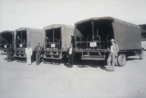
Slide of cover wagons used during the construction phase of Hoover Dam, Boulder City, Nevada, January 7, 1932
Date
1932-01-07
Archival Collection
Description
Black and white image of men standing next to"cover wagons" in Boulder City. Nine cover wagons, each having a capacity of 48 men, were used to transport workmen from Boulder City to Black Canyon for the construction of the Hoover Dam. These buses were canvas-covered with side curtains that could be raised during hot weather. Note: Boulder Dam was officially renamed Hoover Dam in 1947.
Image
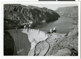
Aerial photograph of Hoover Dam and Lake Mead, 1935-1936
Date
1935 to 1936
Archival Collection
Description
Aerial view of the downstream face of Hoover Dam, including the intake towers, and Lake Mead, in Black Canyon. Electric power transmission lines span the lake.
Image
Pagination
Refine my results
Content Type
Creator or Contributor
Subject
Archival Collection
Digital Project
Resource Type
Year
Material Type
Place
Language
Records Classification
