Search Results
shaded-relief maps
Maps on which relief is made to appear three-dimensional by the use of graded shadow effect.
Material Type
Highland School (historical)
No description.
Latitude/Longitude
36.20025, -115.16222
Broader
Feature
school
Geographic Location
Regent Mining District
No description.
Latitude/Longitude
38.99909, -118.3593
Broader
Feature
administrative division
Geographic Location
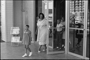
Set of photographs including Tilman John's anniversary, Pleasant Grove White House Tea, and Booker's wedding: image 012
Date
1967
Archival Collection
Image

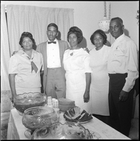
Set of photographs including Tilman John's anniversary, Pleasant Grove White House Tea, and Booker's wedding: image 013
Date
1967
Archival Collection
Image

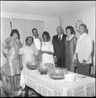
Set of photographs including Tilman John's anniversary, Pleasant Grove White House Tea, and Booker's wedding: image 014
Date
1967
Archival Collection
Image
Set of photographs including Tilman John's anniversary, Pleasant Grove White House Tea, and Booker's wedding: image 015
Date
1967
Archival Collection
Image