Search Results
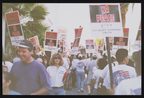
Hilton Flamingo picketing, Culinary Union, Las Vegas (Nev.), 1990s (folder 1 of 1), image 18
Date
1990 to 1998
Description
Arrangement note: Series I. Demonstrations, Subseries I.B. Other Demonstrations and Strikes
Image

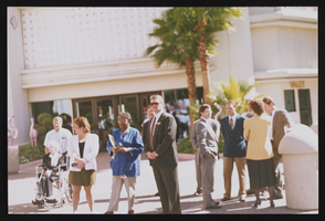
Hilton Flamingo picketing, Culinary Union, Las Vegas (Nev.), 1990s (folder 1 of 1), image 19
Date
1990 to 1998
Description
Arrangement note: Series I. Demonstrations, Subseries I.B. Other Demonstrations and Strikes
Image
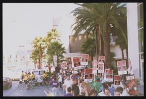
Hilton Flamingo picketing, Culinary Union, Las Vegas (Nev.), 1990s (folder 1 of 1), image 20
Date
1990 to 1998
Description
Arrangement note: Series I. Demonstrations, Subseries I.B. Other Demonstrations and Strikes
Image

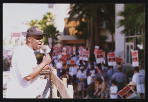
Hilton Flamingo picketing, Culinary Union, Las Vegas (Nev.), 1990s (folder 1 of 1), image 21
Date
1990 to 1998
Description
Arrangement note: Series I. Demonstrations, Subseries I.B. Other Demonstrations and Strikes
Image
Hilton Flamingo picketing, Culinary Union, Las Vegas (Nev.), 1990s (folder 1 of 1), image 22
Date
1990 to 1998
Description
Arrangement note: Series I. Demonstrations, Subseries I.B. Other Demonstrations and Strikes
Image

Hilton Flamingo picketing, Culinary Union, Las Vegas (Nev.), 1990s (folder 1 of 1), image 23
Date
1990 to 1998
Description
Arrangement note: Series I. Demonstrations, Subseries I.B. Other Demonstrations and Strikes
Image

Hilton Flamingo picketing, Culinary Union, Las Vegas (Nev.), 1990s (folder 1 of 1), image 24
Date
1990 to 1998
Description
Arrangement note: Series I. Demonstrations, Subseries I.B. Other Demonstrations and Strikes
Image

Hilton Flamingo picketing, Culinary Union, Las Vegas (Nev.), 1990s (folder 1 of 1), image 25
Date
1990 to 1998
Description
Arrangement note: Series I. Demonstrations, Subseries I.B. Other Demonstrations and Strikes
Image
Hilton Flamingo picketing, Culinary Union, Las Vegas (Nev.), 1990s (folder 1 of 1), image 26
Date
1990 to 1998
Description
Arrangement note: Series I. Demonstrations, Subseries I.B. Other Demonstrations and Strikes
Image

Hilton Flamingo picketing, Culinary Union, Las Vegas (Nev.), 1990s (folder 1 of 1), image 27
Date
1990 to 1998
Description
Arrangement note: Series I. Demonstrations, Subseries I.B. Other Demonstrations and Strikes
Image