Search Results
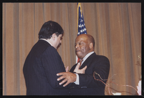
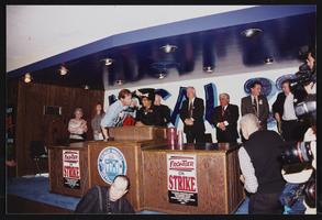
Conference during Frontier Strike with Ed Hanley, Culinary Union, Las Vegas (Nev.), 1990s (folder 1 of 1), image 24
Date
1990 to 1999
Description
Arrangement note: Series III. Internal: Work
Image
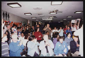
Member meeting in union hall, Culinary Union, Las Vegas (Nev.), 1990s (folder 1 of 1), image 14
Date
1990 to 1999
Description
Arrangement note: Series III. Internal: Work
Image
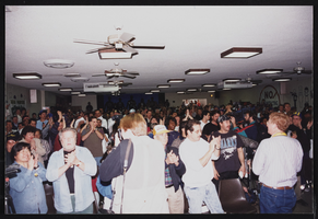
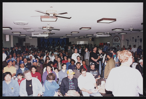
Member meeting in union hall, Culinary Union, Las Vegas (Nev.), 1990s (folder 1 of 1), image 19
Date
1990 to 1999
Description
Arrangement note: Series III. Internal: Work
Image

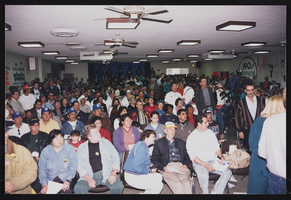
Member meeting in union hall, Culinary Union, Las Vegas (Nev.), 1990s (folder 1 of 1), image 21
Date
1990 to 1999
Description
Arrangement note: Series III. Internal: Work
Image
Member meeting in union hall, Culinary Union, Las Vegas (Nev.), 1990s (folder 1 of 1), image 22
Date
1990 to 1999
Description
Arrangement note: Series III. Internal: Work
Image
Member meeting in union hall, Culinary Union, Las Vegas (Nev.), 1990s (folder 1 of 1), image 24
Date
1990 to 1999
Description
Arrangement note: Series III. Internal: Work
Image
Member meeting in union hall, Culinary Union, Las Vegas (Nev.), 1990s (folder 1 of 1), image 26
Date
1990 to 1999
Description
Arrangement note: Series III. Internal: Work
Image

Las Vegas Strip and construction of the New York, New York Casino, Culinary Union, Las Vegas (Nev.), 1990s (folder 1 of 1), image 1
Date
1990 to 1999
Description
Arrangement note: Series III. Internal: Work
Image

Las Vegas Strip and construction of the New York, New York Casino, Culinary Union, Las Vegas (Nev.), 1990s (folder 1 of 1), image 2
Date
1990 to 1999
Description
Arrangement note: Series III. Internal: Work
Image

Las Vegas Strip and construction of the New York, New York Casino, Culinary Union, Las Vegas (Nev.), 1990s (folder 1 of 1), image 3
Date
1990 to 1999
Description
Arrangement note: Series III. Internal: Work
Image