Search the Special Collections and Archives Portal
Search Results
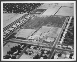
Photograph of Jim Bridger Junior High School, Las Vegas, circa 1960s to 1970s
Date
1960 to 1979
Archival Collection
Description
An aerial view of Jim Bridger Junior High School (at the top) in North Las Vegas, Nevada.
Image
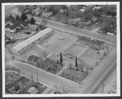
Photograph of Washington Elementary School, Las Vegas, circa 1950s to 1960s
Date
1950 to 1969
Archival Collection
Description
An aerial view of Washington Elementary School (first school in North Las Vegas) in North Las Vegas, Nevada.
Image
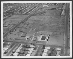
Photograph of J. D. Smith Junior High School, Las Vegas, circa 1960s to 1970s
Date
1960 to 1979
Archival Collection
Description
An aerial view of J. D. Smith Junior High School in North Las Vegas, Nevada.
Image
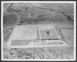
Photograph of Lois Craig Elementary School, Las Vegas, circa mid-1960s to 1970s
Date
1965 to 1979
Archival Collection
Description
An aerial view of Lois Craig Elementary School in North Las Vegas, Nevada.
Image
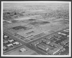
Photograph of Matt Kelly Elementary School, Las Vegas, circa 1960s to 1970s
Date
1960 to 1979
Archival Collection
Description
An aerial view of Matt Kelly Elementary School in North Las Vegas, Nevada.
Image
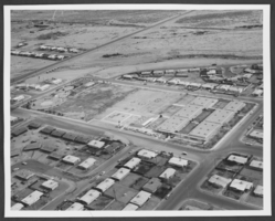
Aerial photograph of Lincoln Elementary School, North Las Vegas, Nevada, circa 1960s-1970s
Date
1960 to 1979
Archival Collection
Description
An aerial view of Lincoln Elementary School, North Las Vegas, Nevada, circa 1960s-1970s. The School is located near the intersection of Civic Center Drive and Cheyenne Avenue.
Image
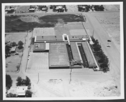
Aerial photograph of Mountain View Elementary School, Las Vegas, Nevada, circa 1960s-1970s
Date
1960 to 1979
Archival Collection
Description
An aerial view of Mountain View Elementary School, Las Vegas, Nevada, circa 1960s-1970s. The school is located near the intersection of Nellis Boulevard and Lake Mead Boulevard.
Image
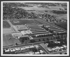
Aerial photograph of Rancho High School, North Las Vegas, Nevada, circa 1960s-1970s
Date
1960 to 1979
Archival Collection
Description
An aerial view of Rancho High School, North Las Vegas, Nevada, circa 1960s-1970s. The school is located near the intersection of Bruce Street and Owens Avenue.
Image
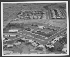
Aerial photograph of Jo Mackey Elementary School, North Las Vegas, Nevada, circa 1960s-1970s
Date
1960 to 1979
Archival Collection
Description
Aerial view of Jo Mackey Elementary School, North Las Vegas, Nevada, circa 1960s-1970s. The school is located near the intersection of Commerce Street and Cheyenne Avenue.
Image
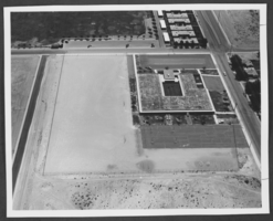
Aerial photograph of Quannah McCall Elementary School, North Las Vegas, Nevada, circa 1960s-1970s
Date
1960 to 1979
Archival Collection
Description
Aerial view of Quannah McCall Elementary School, North Las Vegas, Nevada, circa 1960s-1970s. The school is located near the intersection of Carey /avenue and Donna Street.
Image
Pagination
Refine my results
Content Type
Creator or Contributor
Subject
Archival Collection
Digital Project
Resource Type
Material Type
Place
Language
