Copyright & Fair-use Agreement
UNLV Special Collections provides copies of materials to facilitate private study, scholarship, or research. Material not in the public domain may be used according to fair use of copyrighted materials as defined by copyright law. Please cite us.
Please note that UNLV may not own the copyright to these materials and cannot provide permission to publish or distribute materials when UNLV is not the copyright holder. The user is solely responsible for determining the copyright status of materials and obtaining permission to use material from the copyright holder and for determining whether any permissions relating to any other rights are necessary for the intended use, and for obtaining all required permissions beyond that allowed by fair use.
Read more about our reproduction and use policy.
I agree.Information
Digital ID
Permalink
Details
Member of
More Info
Rights
Digital Provenance
Publisher
Transcription
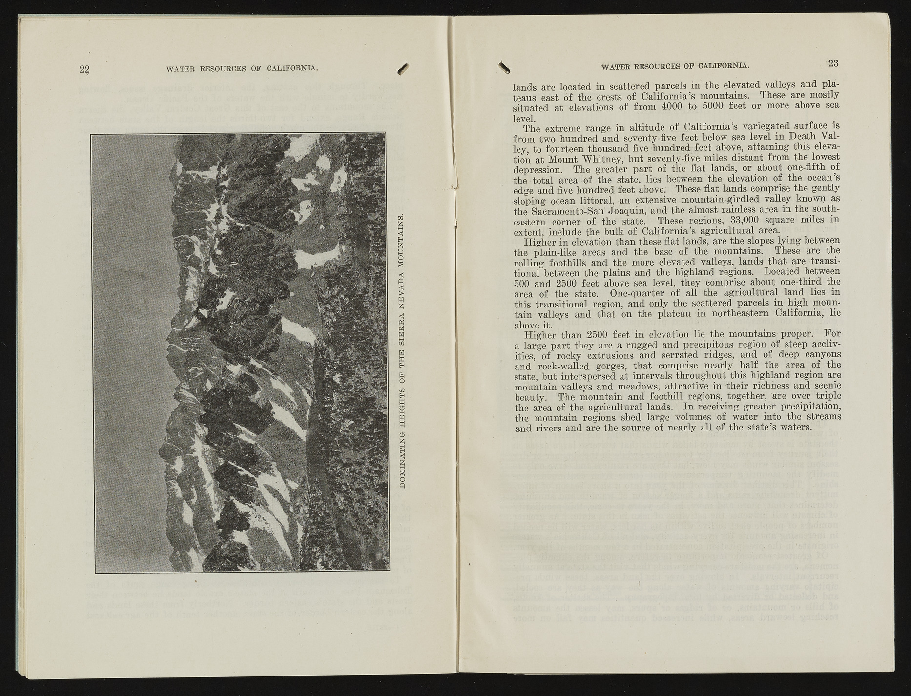
DOMINATING HEIGHTS OF THE SIERRA NEVADA MOUNTAINS. TXTAmt'O ATTT? flTP.S AT? H A T iTP O R N T A . 23 lands are located in scattered parcels in the elevated valleys and plateaus east of the crests of California’s mountains. These are mostly situated at elevations of from 4000 to 5000 feet or more above sea level. The extreme range in altitude of California’s variegated surface is from two hundred and seventy-five feet below sea level in Death Valley, to fourteen thousand five hundred feet above, attaining this elevation at Mount Whitney, but seventy-five miles distant from the lowest depression. The greater part of the flat lands, or about one-fifth of the total area of the state, lies between the elevation of the ocean’s edge and five hundred feet above. These flat lands comprise the gently sloping ocean littoral, an extensive mountain-girdled valley known as the Sacramento-San Joaquin, and the almost rainless area in the southeastern corner of the state. These regions, 33,000 square miles in extent, include the bulk of California’s agricultural area. Higher in elevation than these flat lands, are the slopes lying between the plain-like areas and the base of the mountains. These are the rolling foothills and the more elevated valleys, lands that are transitional between the plains and the highland regions. Located between 500 and 2500 feet above sea level, they comprise about one-third the area of the state. One-quarter of all the agricultural, land lies in this transitional region, and only the scattered parcels in high mountain valleys and that on the plateau in northeastern California, lie above it. ' Higher than 2500 feet in elevation lie the mountains proper. For a large part they are a rugged and precipitous region of steep acclivities, of rocky extrusions and serrated ridges, and of deep canyons and rock-walled gorges, that comprise nearly half the area of the state, but interspersed at intervals throughout this highland region are mountain valleys and meadows, attractive in their richness and scenic beauty. The mountain and foothill regions, together, are over triple the area of the agricultural lands. In receiving greater precipitation, the mountain regions shed large volumes of water into the streams and rivers and are the source of nearly all of the state’s waters.

