Copyright & Fair-use Agreement
UNLV Special Collections provides copies of materials to facilitate private study, scholarship, or research. Material not in the public domain may be used according to fair use of copyrighted materials as defined by copyright law. Please cite us.
Please note that UNLV may not own the copyright to these materials and cannot provide permission to publish or distribute materials when UNLV is not the copyright holder. The user is solely responsible for determining the copyright status of materials and obtaining permission to use material from the copyright holder and for determining whether any permissions relating to any other rights are necessary for the intended use, and for obtaining all required permissions beyond that allowed by fair use.
Read more about our reproduction and use policy.
I agree.Information
Digital ID
Permalink
Details
More Info
Rights
Digital Provenance
Publisher
Transcription
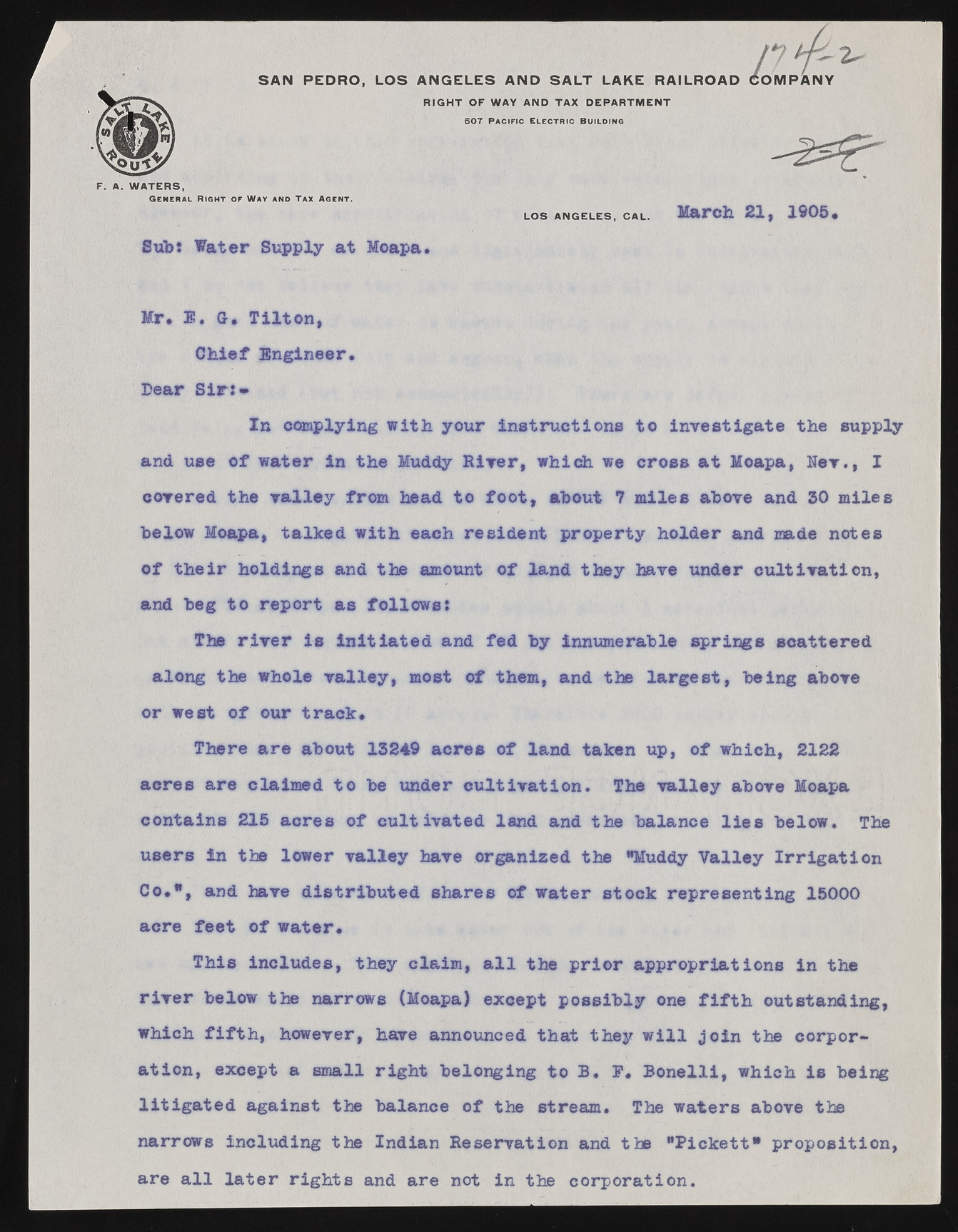
S A N P E D R O , L O S A N G E L E S A N D S A L T L AKE RAILROAD OMMPANYO / 2 - RIGHT OF WAY AND TAX DEPARTMENT 507 Pac ific E l e c t r i c B ui lding F. A. WATERS, G e n e r a l Ri g h t o f Way a n d T ax Ag e n t . LOS ANGELES, CAL. March 21, 1905, Sub: Water Supply at Moapa Mr, 1. Cr, Tilton Chief Engineer. Dear S ir In complying with your instructions to investigate the supply and use of water in the Muddy River, which we cross at Moapa, Her., I covered the valley from head to foot, about 7 miles above and 30 miles below Moapa, talked with each resident property holder and made notes of their holdings and the amount of land they have under cultivation, and beg to report as follows* The riv e r is in itiated and fed by innumerable springs scattered along the whole valley, most of them, and the largest, being above or west of our track. There are about 13249 acres of land taken up, of which, 2122 acres are claimed to be under cultivation. The valley above Moapa contains 215 acres of cultivated land and the balance lie s below* The users in the lower valley have organized the "Muddy Valley Irrig a tio n Co.*, and have distributed shares of water stock representing 15000 acre feet of water. This includes, they claim, a l l the prior appropriations in the riv e r below the narrows (Moapa) except possibly one f i f t h outstanding, which fift h , however, have announced that they w i l l jo in the corporation, except a small right belonging to 33* P. B on elli, which is being litig a te d against the balance of the stream. The waters above the narrows including the Indian Reservation and the "Pickett* proposition, are a l l la te r rights and are not in the corporation.

