Copyright & Fair-use Agreement
UNLV Special Collections provides copies of materials to facilitate private study, scholarship, or research. Material not in the public domain may be used according to fair use of copyrighted materials as defined by copyright law. Please cite us.
Please note that UNLV may not own the copyright to these materials and cannot provide permission to publish or distribute materials when UNLV is not the copyright holder. The user is solely responsible for determining the copyright status of materials and obtaining permission to use material from the copyright holder and for determining whether any permissions relating to any other rights are necessary for the intended use, and for obtaining all required permissions beyond that allowed by fair use.
Read more about our reproduction and use policy.
I agree.Information
Digital ID
Permalink
Details
More Info
Rights
Digital Provenance
Publisher
Transcription
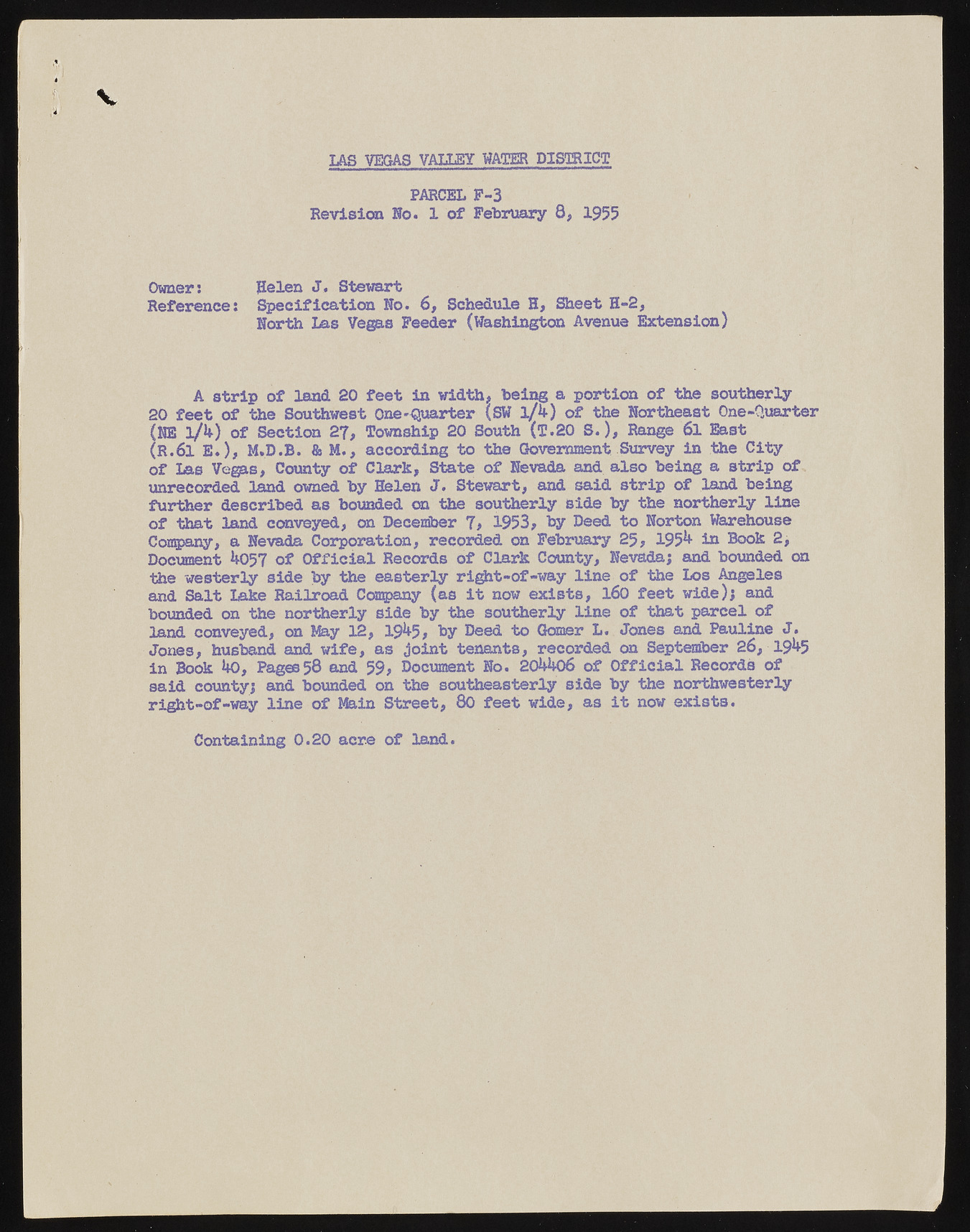
IAS VEGAS VALLEY WATER DISTRICT PARCEL F-3 Revision No. 1 of February 8, 1955 Owner: Helen J. Stewart Reference: Specification No. 6, Schedule H, Sheet H-2, North Las Vegas Feeder (Washington Avenue Extension) A strip of land 20 feet in width, being a portion of the southerly 20 feet of the Southwest One-Quarter (SW l/k) of the Northeast One-Quarter (HE l/4) of Section 27, Township 20 South (T.20 S.), Range 6l East (R.6l E.), M.D.B. & M., according to the Government Survey in the City of Las Vegas, County of Clark, State of Nevada and also being a strip of unrecorded land owned by Helen J. Stewart, and said strip of land being further described as bounded on the southerly side by the northerly line of that land conveyed, on December 7, 1953, by Deed to Norton Warehouse Company, a Nevada Corporation, recorded on February 25, 1954 iu Book 2, Document 4057 of Official Records of Clark County, Nevada; and bounded on the westerly side by the easterly right-of-way line of the Los Angeles and Salt Lake Railroad Company (as it now exists, 160 feet wide); and bounded on the northerly side by the southerly line of that parcel of land conveyed, on May 12, 1945, by Deed to Gomer L. Jones and Pauline J. Jones, husband and wife, as joint tenants, recorded on September 26, 1945 in Book 40, Pages 58 and 59, Document No. 204406 of Official Records of said county; and bounded on the southeasterly side by the northwesterly right-of-way line of Main Street, 80 feet wide, as it now exists. Containing 0.20 acre of land.

