Copyright & Fair-use Agreement
UNLV Special Collections provides copies of materials to facilitate private study, scholarship, or research. Material not in the public domain may be used according to fair use of copyrighted materials as defined by copyright law. Please cite us.
Please note that UNLV may not own the copyright to these materials and cannot provide permission to publish or distribute materials when UNLV is not the copyright holder. The user is solely responsible for determining the copyright status of materials and obtaining permission to use material from the copyright holder and for determining whether any permissions relating to any other rights are necessary for the intended use, and for obtaining all required permissions beyond that allowed by fair use.
Read more about our reproduction and use policy.
I agree.Information
Digital ID
Permalink
Details
More Info
Rights
Digital Provenance
Publisher
Transcription
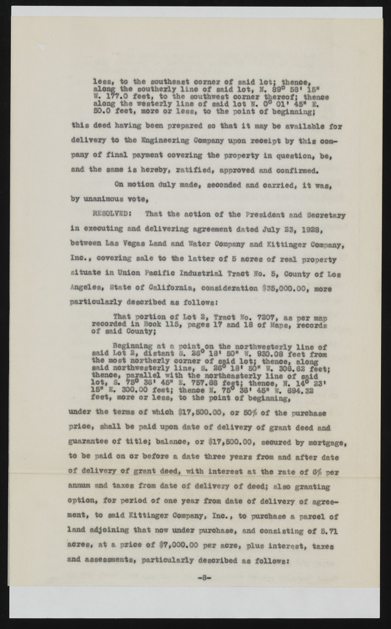
less* to the southeast corner of said lot; thence, along the southerly line of eald lot, 8. 89° 58* 15* W. 177.0 feet, to the southwest comer thereof; thence along the westerly line of said lot N. 0° 01* 45* g. 50.0 feet, more or lees, to the point of beginning; this deed hawing been prepared eo that it may be available for delivery to the Engineering Company upon receipt by this company of final payment covering the property in question, be, and the same is hereby, ratified, approved and confirmed. On motion duly made, seconded and carried, it was, by unanimous vote, RESOLVEDi That the action of the President and Secretary in executing and delivering agreement dated July 35, 1938, between Las Vegas Land and Water Company and mtinger Company, Inc., covering sale to the latter of 5 acres of real property situate in Union Pacific Industrial Tract Wo. 5, County of Los Angeles, State of California, consideration $35,000.00, more particularly described as follows: That portion of Lot 8, Tract Wo. 7307, as per map recorded in Book 115, pages 17 and of said County; 18 of Raps, records Beginning at a point on the northwesterly line of said Lot 2, distant S. 26° 181 50* W. 930.08 feet from the most northerly corner of said lot; thence, along said northwesterly line, S. 38° 18* SO* W. 308.62 feet; thence, parallel with the northeasterly line of said lot, 3. 75® 36* 48* t. 757.68 feet; thence, 1. 14® 23* 15* I. 300.00 feet; thence H. 75° 36* 45* I, @94.33 feet, sore or less, to the point of beginning, under the terms of which 8X7,500.00, or 50$ of the purchase price, shall be paid upon date of delivery of grant deed and guarantee of title; balance, or 817,500.00, secured by mortgage, to be paid on or before a date three years fro® and after date of delivery of grant deed, with interest at the rate of 8$ per annum and taxes from date of delivery of deed; also granting option, for period of one year from date of delivery jjj agreement, to said Xittinger Company, lac., to purchase a parcel of land adjoining that now under purchase, and consisting of 5,71 acres, at a price of #7,000.00 per acre, plus interest, taxes and assessments, particularly described as follows?

